
BWCA: Paddling through History along the MN border
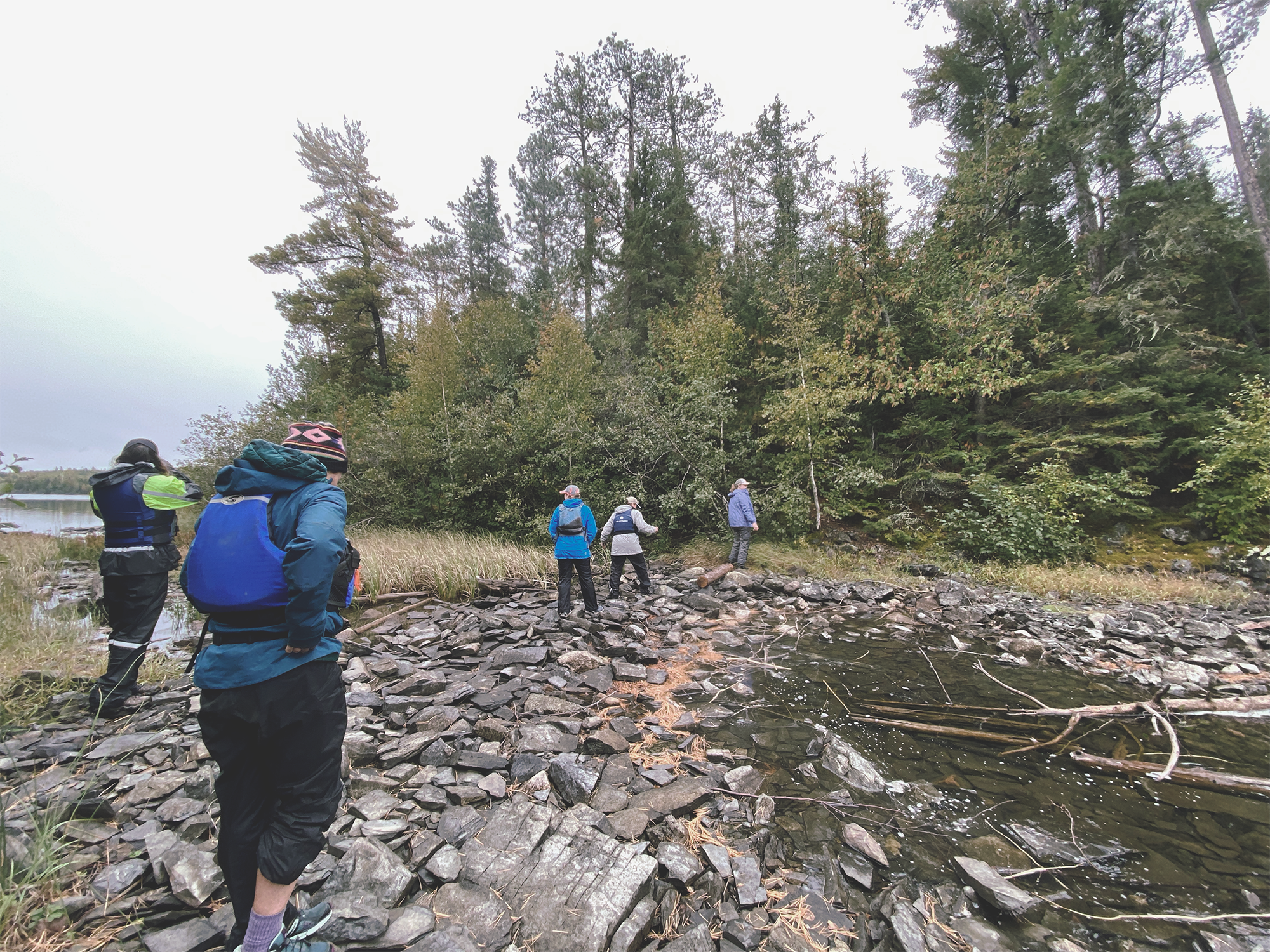
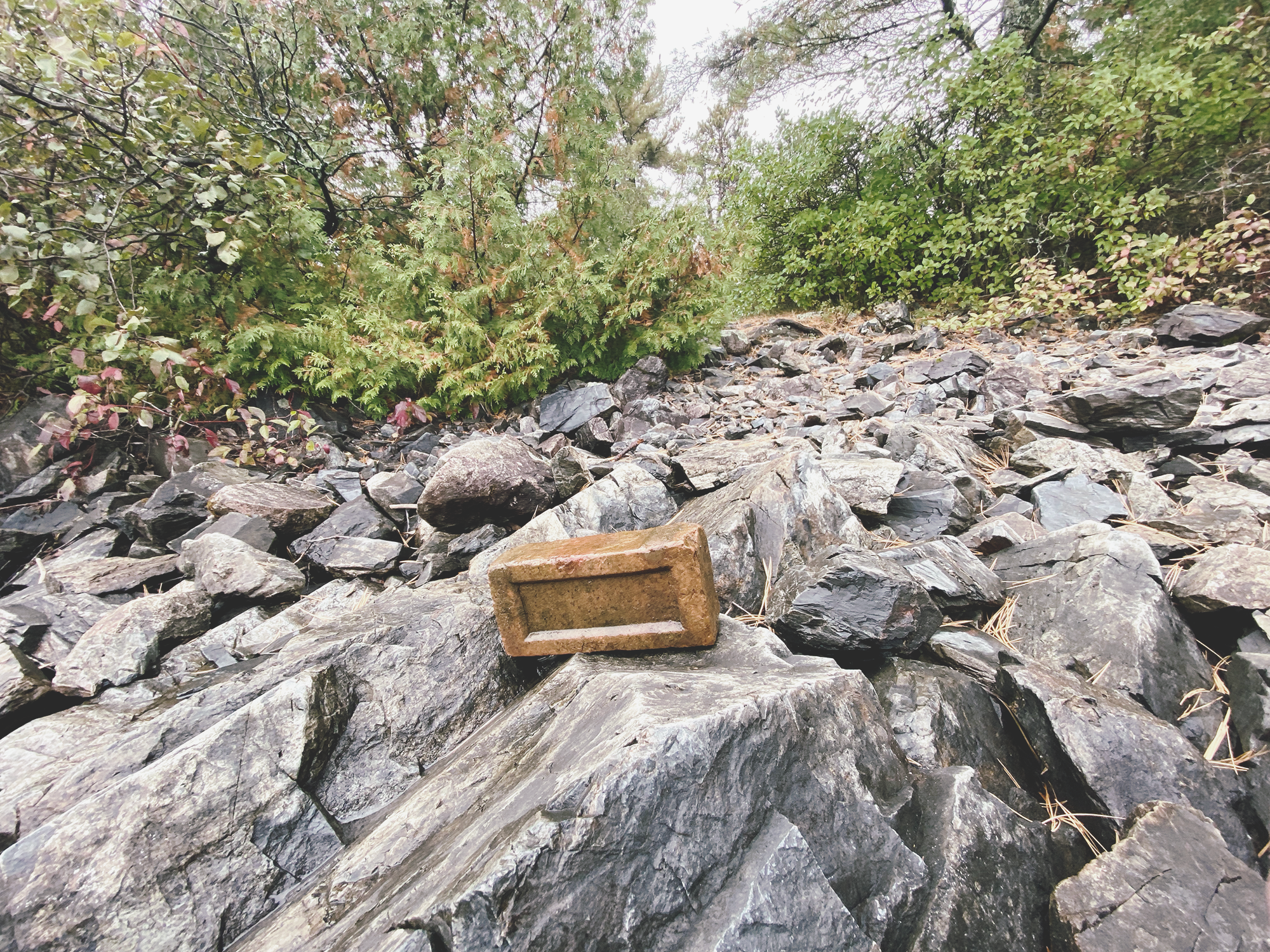
Paddling through the quiet waters of Knife Lake in the farthest boundaries of northern Minnesota, we spotted something something unusual. Lilac bushes and Irises. Nearby there was what looked to be a natural harbor, a brick and what appeared to be a former dock.
We’d found the former homestead of the last, non-indigenous resident of the Boundary Waters Canoe Area Wilderness (BWCA).

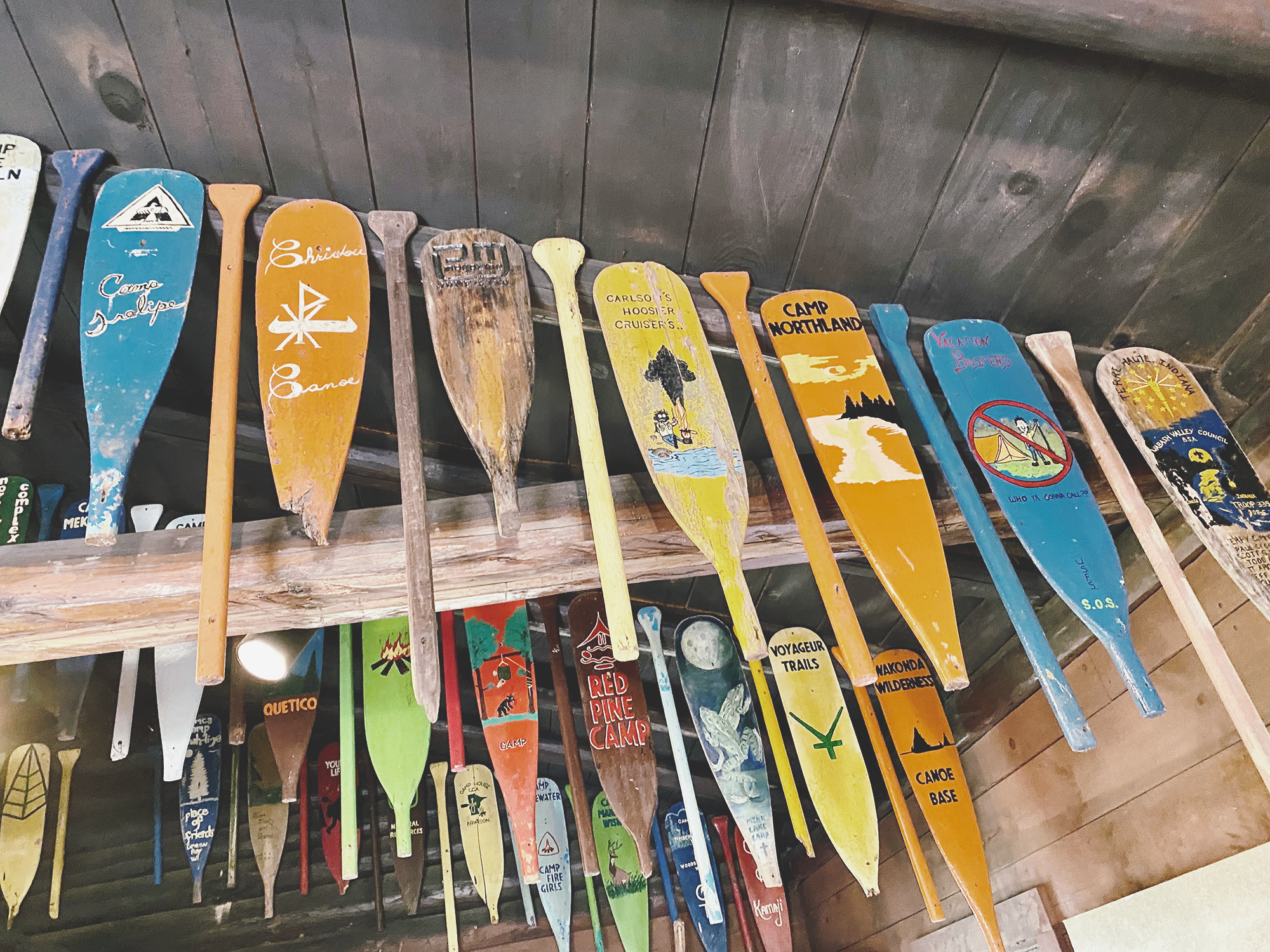
One of the small harbors surrounding the Isle of Pines; three small islands that were home to Dorothy Molter. Nearby is Ribbon rock that was gifted to Dorothy from her nephews.
Born in 1907, Dorothy Molter hailed from Chicago, IL. Trained as a nurse, but unable to find a job due to the depression, she joined her father’s fishing trip to a remote resort that sat on the borders of Minnesota and Canada. After a week of fishing and relaxing in the boreal forest, her heart was stirred, and she began to return annually. Eventually, in 1934 the owner asked her to co-manage the tiny resort and promised that after he passed, the Isle of Pines Resort would be hers.
We walked around one of the three small islands that sit clustered in the western side of the lake. Home to Dorothy for 56 years, we marveled at the tenacity it would take to live in such an isolated place year round. We thought about the small, yet strong woman who moved away from the conventions of her time in which most women became housewives. Being a nurse was unusual, but operate a fishing resort in the wilderness? Unheard of.
The USFS tried to persuade Dorothy to sell her land to them for many years and she always declined. However, after the National Wilderness Act of 1964, Dorothy’s homestead really hung in the balance as the United States Forest Service pushed to evict her and remove all structures. With petitions from various individuals and groups, Dorothy and the USFS came to an agreement. She became a voluntary steward for the USFS while keeping her beloved home until her death. After her death in 1986, it was turned over to the forest service for re-wilding.

The wilderness became quieter, mostly governed by wind and waves, accessible primarily by canoe or foot travel.
Officially named the Boundary Waters Canoe Area Wilderness in 1958, it came under wilderness protection which severely limits motorboat use to a handful of lakes, creating miles of waterways and portage trails. It boasts some of the cleanest waters in the world. There are no signs, markers, structures (save a few USFS cabins) or roads within the wilderness.
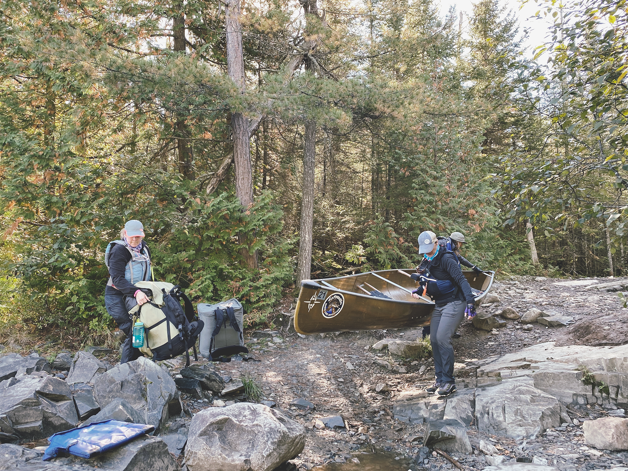
Much of our 25 mile route retraced history.
Much of the theme of our trip was retracing history. We discussed how evidence of Paleo-Indians has been discovered along the border within the Knife Lake region. Then, starting from the 1700’s and continuing for the next 200 years, the region saw heavy use as fur traders and Native Americans traveled along the border and portage trails, moving goods. After that, the loggers came, harvesting great swaths of wood to be sent to sawmills. Finally, resorts popped up around different lakes offering fishing and sightseeing excursions. Currently, the Ojibwe/Chippewa tribe consider the area their homeland and still have fishing and harvesting rights.
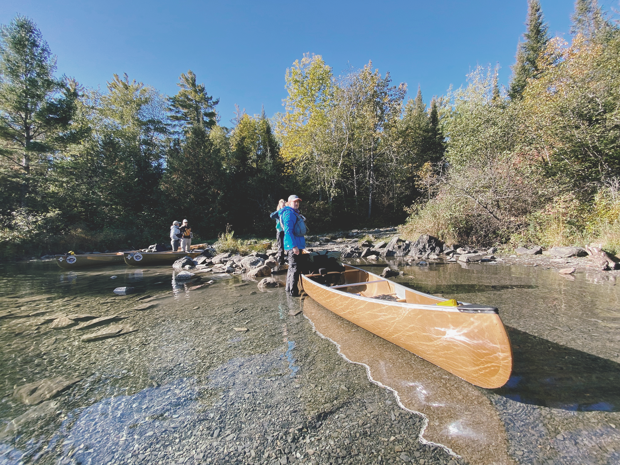
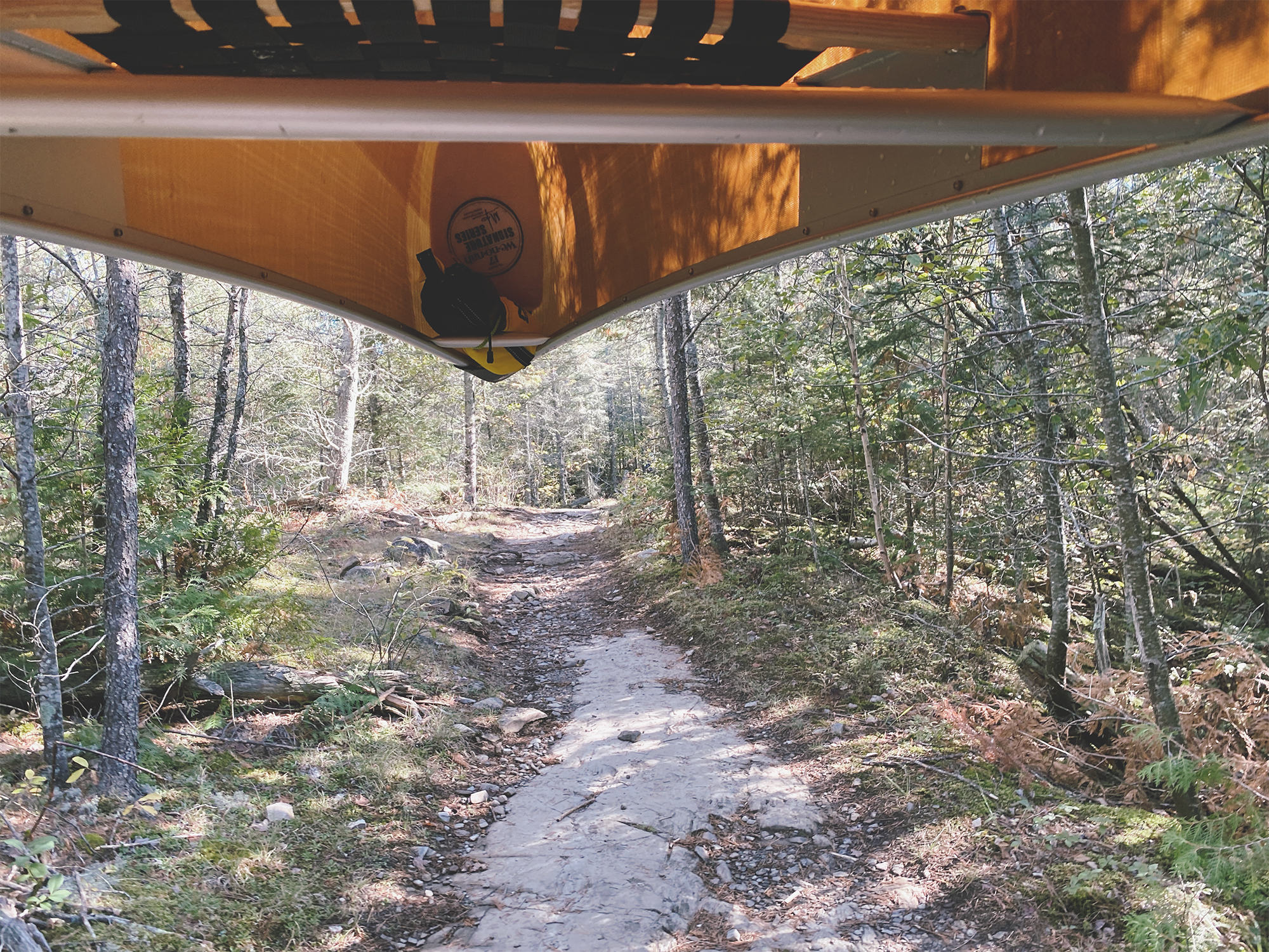
Starting with a boat tow from the outfitter, we traveled 6 miles north along Moose and Newfound Lakes. We were dropped at a very short, easy portage trail. Packing our boats with all of our camping gear, we set off, dipping our paddles into Birch Lake where gorgeous fog was lifting above the glass calm water. It was turning into a perfect, blue-sky day. After a series of 5 more portages we came to Knife Lake. A larger, west to east trending lake. After a dry summer, the water was lower and it was especially noticeable at the portage landings where there were more rocks visible than usual.


Hanging in camp on Knife Lake on a wet, windy day.
After some deliberation, we choose to camp on a W/NW facing site with what we’d hope would offer great sunset views. The overall site was moderately nice, but the tent sites would prove to be challenging after they became mud-pits from a day filled with rain. As the site abuts a steep hill, we spent a humorous amount of time working to hang our bear bag along a steep slope. Solid tree options were few as the site was heavily filled with birch and thin spruce.
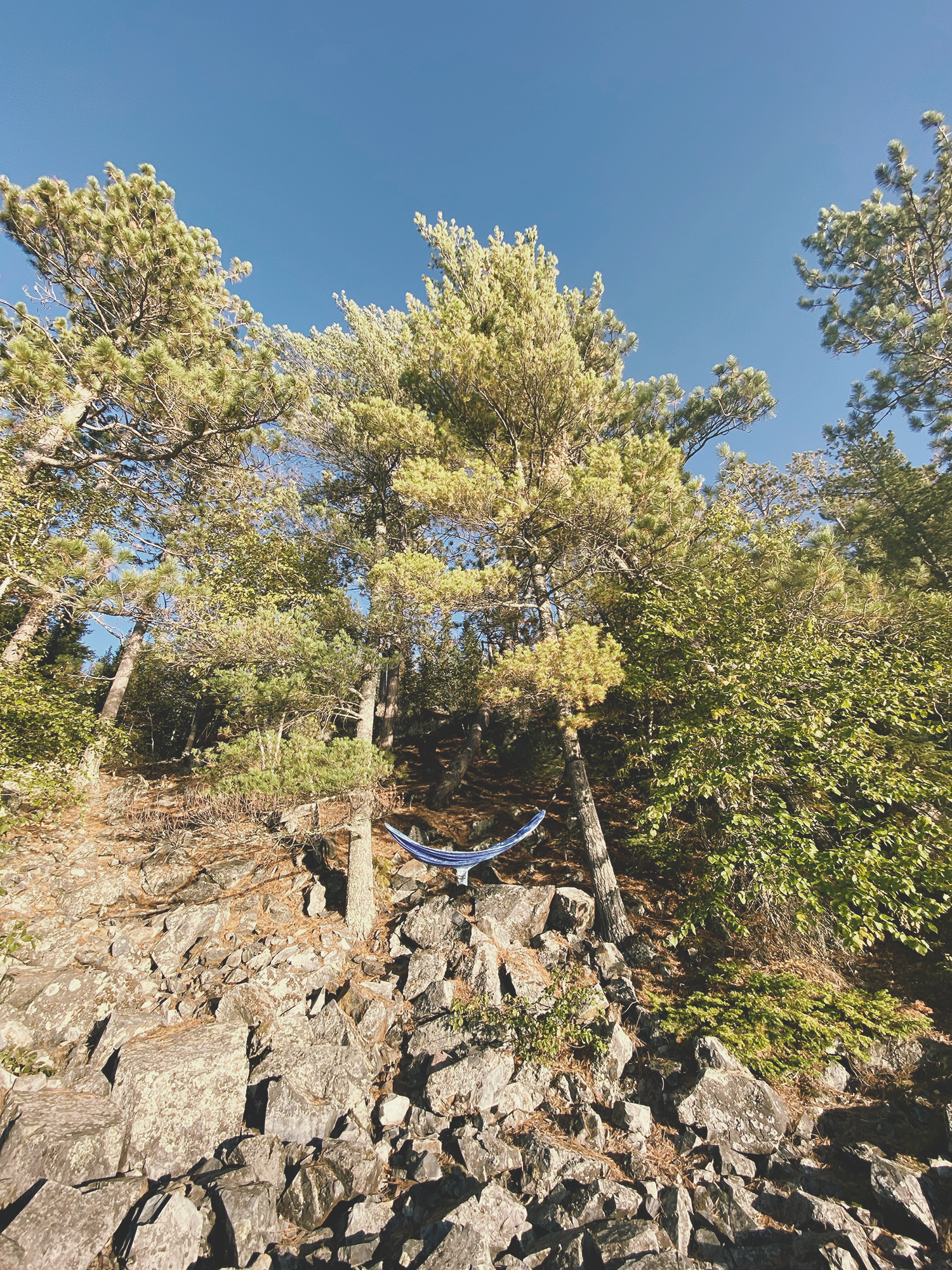
Our next day was a planned rest day which was good as we experienced a lot of wind and rain coming from the west. Generally, as the season moves from fall to winder, the winds tend to prevail from the west/northwest. In hindsight, it probably would have been more sensible to choose a site out of the wind. Additionally, our site was fairly open with no significant tree cover, forcing us to creatively hang our tarp. Thankfully we made it work and were able to safely sit under it with our campfire going. Time was spent relaxing, playing games and when the wind died down, exploring the Isle of Pines. That evening the clouds passed and we were treaded to a beautiful rainbow and starry skies.
Wind is a familiar companion on fall trips.
After checking the Garmin InReach for the a weather update, we knew the following day would be a little warmer trending towards the 60’s but with a stiff breeze. Expected wind was forecasted to be 12mph with gusts up to 20. Knowing we were going to be on some larger bodies of water we discussed best safety practices and had a plan for stopping if the waves got too rough. While the wind did make paddling pretty slow, it was never too difficult to navigate and we move forward with caution.
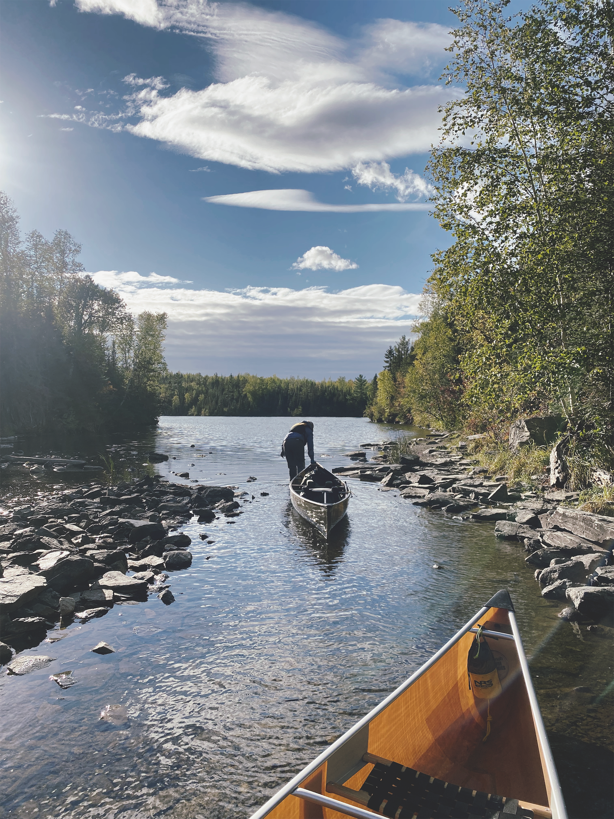
After two challenging 200 rod portages and 4 lakes we paddled into the quiet waters of Newfound Lake. Being a busier area, we picked the first campsite that was open. Not especially scenic, it was small with newer growing trees which posed a challenge for hanging the bear bag. But we were able to dry out from the last two days of intermittent rain and position ourselves for the 4 miles paddle back down Moose Lake and our outfitter the following day.
Highlights of the trip.
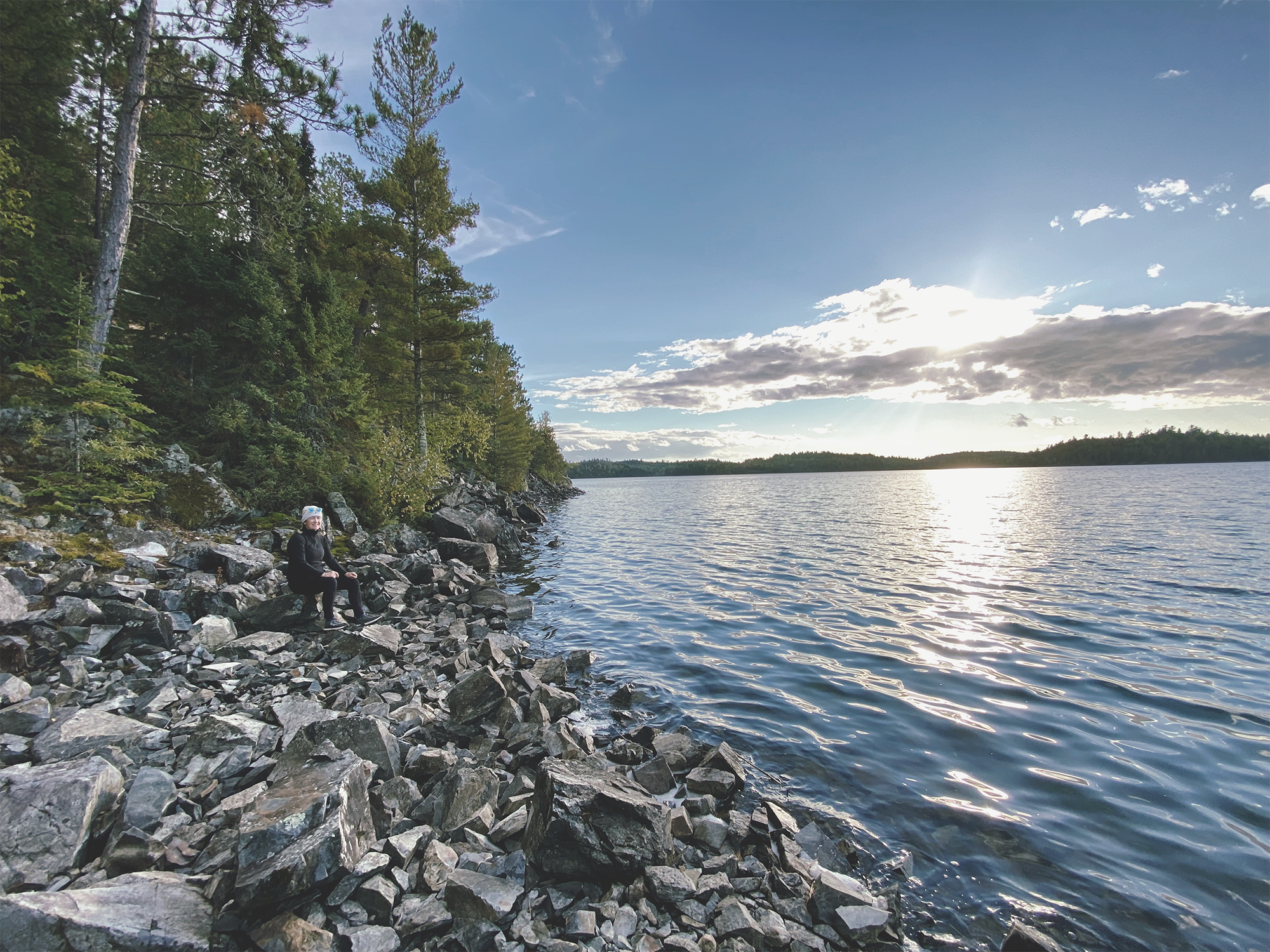
In addition to the rich history of the region, we didn’t encounter many other groups, which provided us with a sense of peace and quiet. Wildlife consisted mostly of birds, such as loons and eagles. The final day we watched a family of otters frolic along the mossy bank. Though we’d heard reports of bear trouble, we encountered no bears, possibly due to the fact that we were a noisy group of seven and worked to keep our campsite clean. One night two of us paddled out into Knife Lake, turned off our headlamps, sat back and looked at the stars. Totally recommend! The fall colors were vibrate inland, but only starting to show around lake shores. We’re pretty sure that this is due to sunlight and temperature differences. Modest attempts were made to catch fish, but none were caught. We heard varied reports of success and failures.
Our last morning the water was wonderfully still. The earth was scented of musky cedar, pine and the sound of water droplets falling off our paddles. As we paddled back towards our final shore, thoughts about how important this wild place is came to mind. It’s important to recall why it was protected and continues to need to be for all to enjoy. A wilderness in our backyard! How incredible.
”BWCA is…an area where the earth and its community of life are untrammeled by man, where man himself is a visitor who does not remain…for the use and enjoyment of the American people in such a manner as will leave them unimpaired for future use and enjoyment as wilderness”. - National Wilderness Act 1964
GOOD TO KNOW BEFORE YOU GO
Learn more about visiting the BWCA.
Visiting the BWCA requires a permit.
Plan your visit to the BWCA. Find routes, packing lists, gear guide and navigational tips. We own our own canoe and gear so we generally do not use local outfitters beyond reserving a bunkhouse or renting a couple of extra canoes, but most everyone we’ve worked with has been great. Contact us for recommendations.
Practice your navigational basics. We ran into two guys on this trip that were lost and only relying on their phone as a map. GPS can be great, but always carry a paper map and compass.
Make sure you are prepared for the conditions you may encounter. Even if the forecast calls for sun the entire trip, bring good rain gear along.
Brush up on canoeing skills. Minnesota DNR offers inexpensive, beginner canoe classes.
Start with smaller, easier to navigate lakes and pick up some planning maps so you get a good overview of the region.
Know your limits. Prepare your body and mind to tolerate the rigors of paddling and portaging for hours with heavy equipment. A good cardio and strength training program is essential to your (and your groups) safety and enjoyment. Read trip reports and watch videos so that you understand what you may encounter.
Ensure that the BWCA stays wild and protected for future generations! Leave no trace and pack out everything you bring in. Keep a clean campsite. Don’t create new trails or tent pads. Minimize impact to your surroundings by only cutting dead, down trees. And as Smokey says, “always put out your fires”.
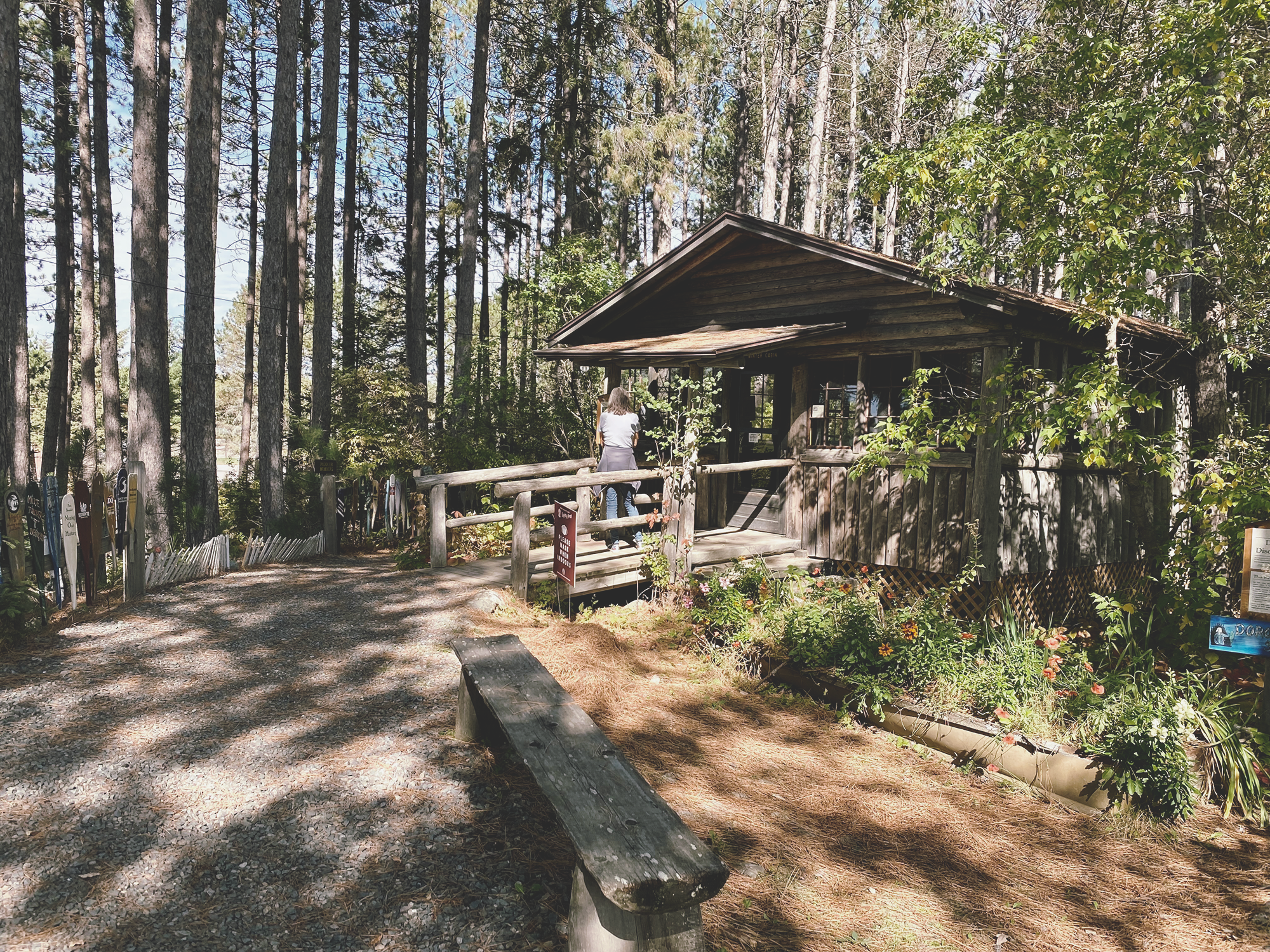
Visit the Dorothy Molter Museum where her some of her former cabins can be toured.