

Superior Hiking Trail Thru-Hike | The Beginning

Psst..I’m offering webinars for those interesting in planning their own SHT adventure. Whether you’re planning a thru-hike or section hike, I’ve got you covered - you’ll receive a recommended packing list, downloadable itinerary, training plan and resource links! Check ‘em out here.
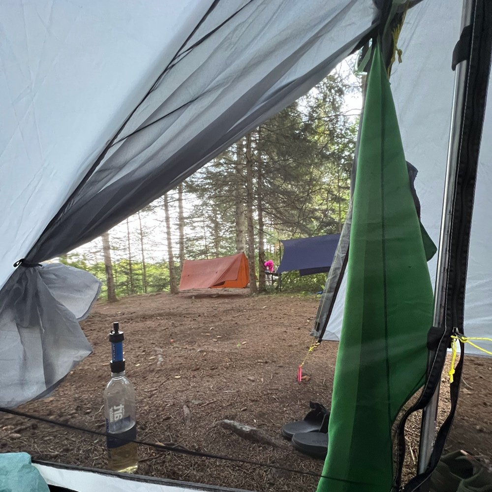
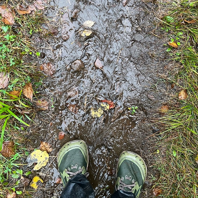
The rain poured. Nearly 2.5 inches had fallen on the trail by the third day. It was mid-September, when the weather is unpredictable in northern Minnesota. I was headed northbound (NOBO) on the Superior Hiking Trail and 15 miles later I stumbled into a campground. Feeling a bit jarred by all the activity after a quiet day on the trail, I searched for the office. My hiking partner had reserved a campsite a month prior. “Do you know we have a shower and laundry building?” the camp host stated as I stumbled in, overstimulated by the smell of clean clothing and warmth.. A shower? A laundry? Joy to my ears. After days of being soaked, I would get clean and dry!
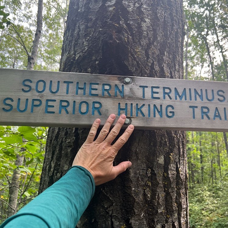
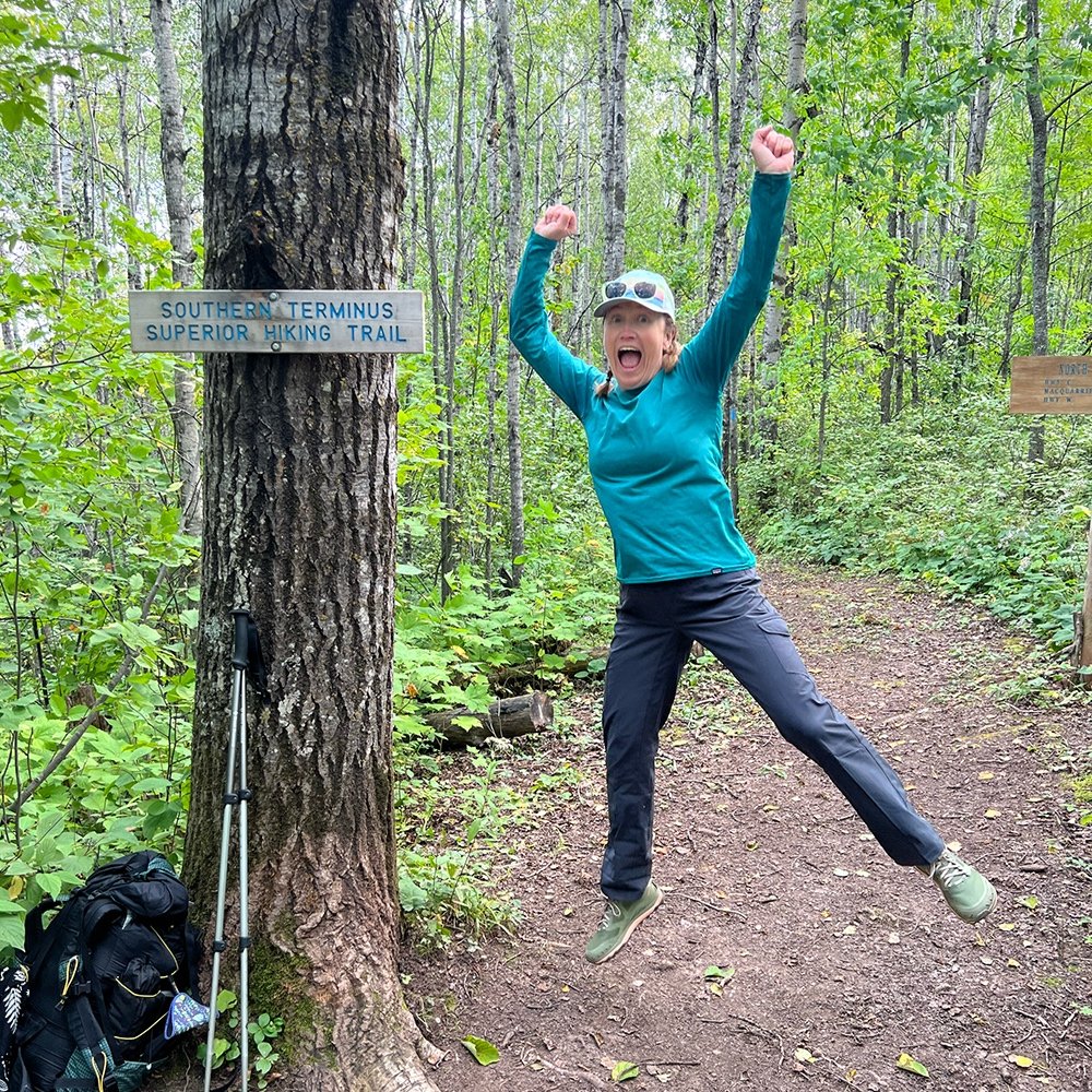
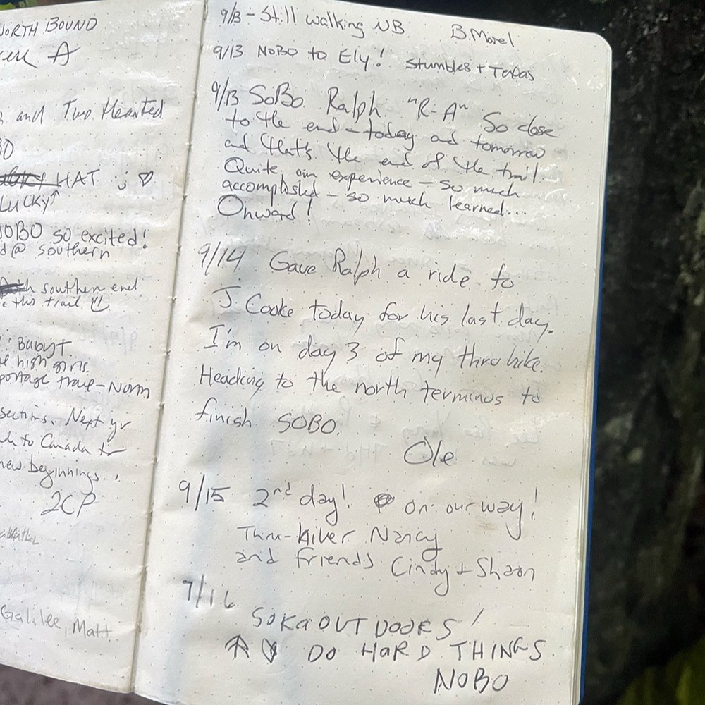
A few days prior I stood at the wooden sign hanging over southern terminus along the Minnesota/Wisconsin border. It welcomed hikers roughly 7 miles southeast of Jay Cooke State Park. We’d been dropped off by a shuttle a mile south of the terminus along the North Country Scenic Trail and hiked north, suddenly coming across a bench, trail register and gateway that heralded the start of our hike towards Canada. We paused for pictures, bodies full of nerves and hope and signed the trail registry.

Northbound towards Canada. (NOBO)
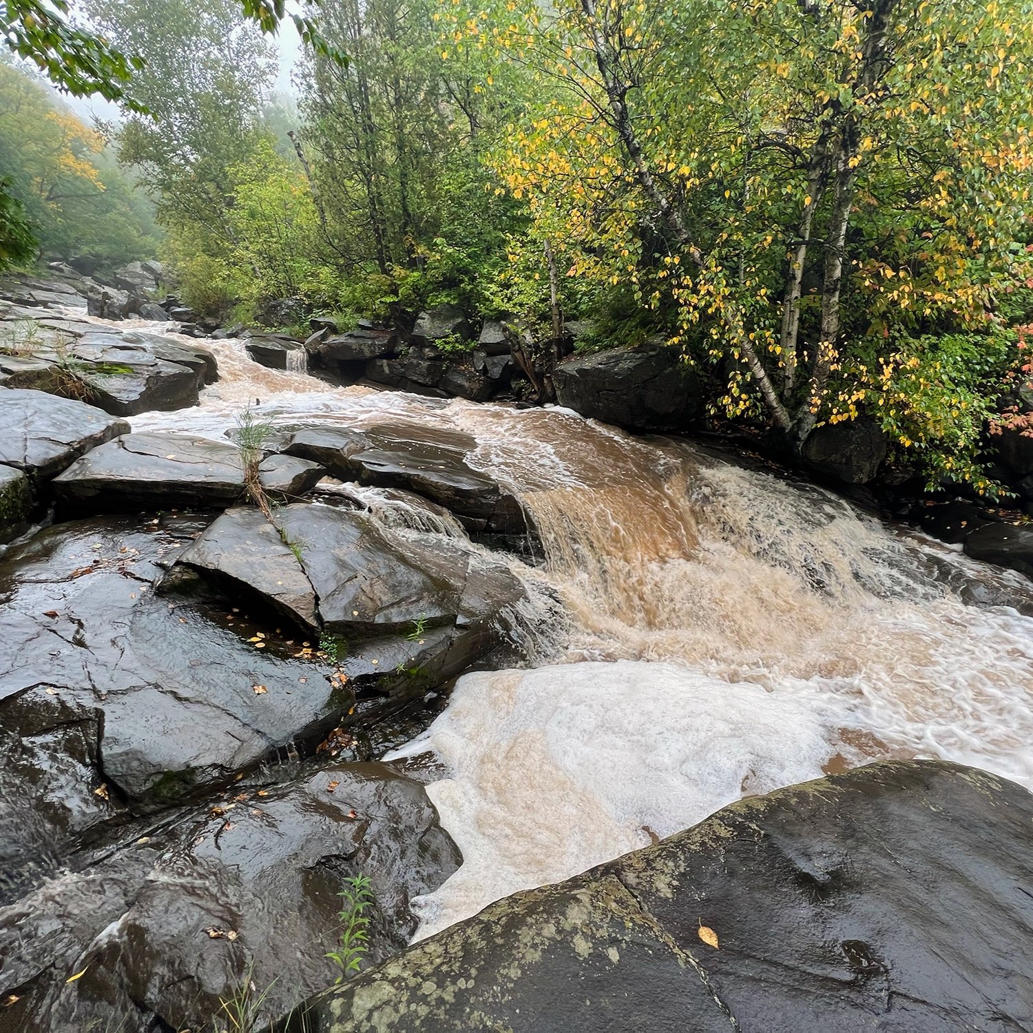
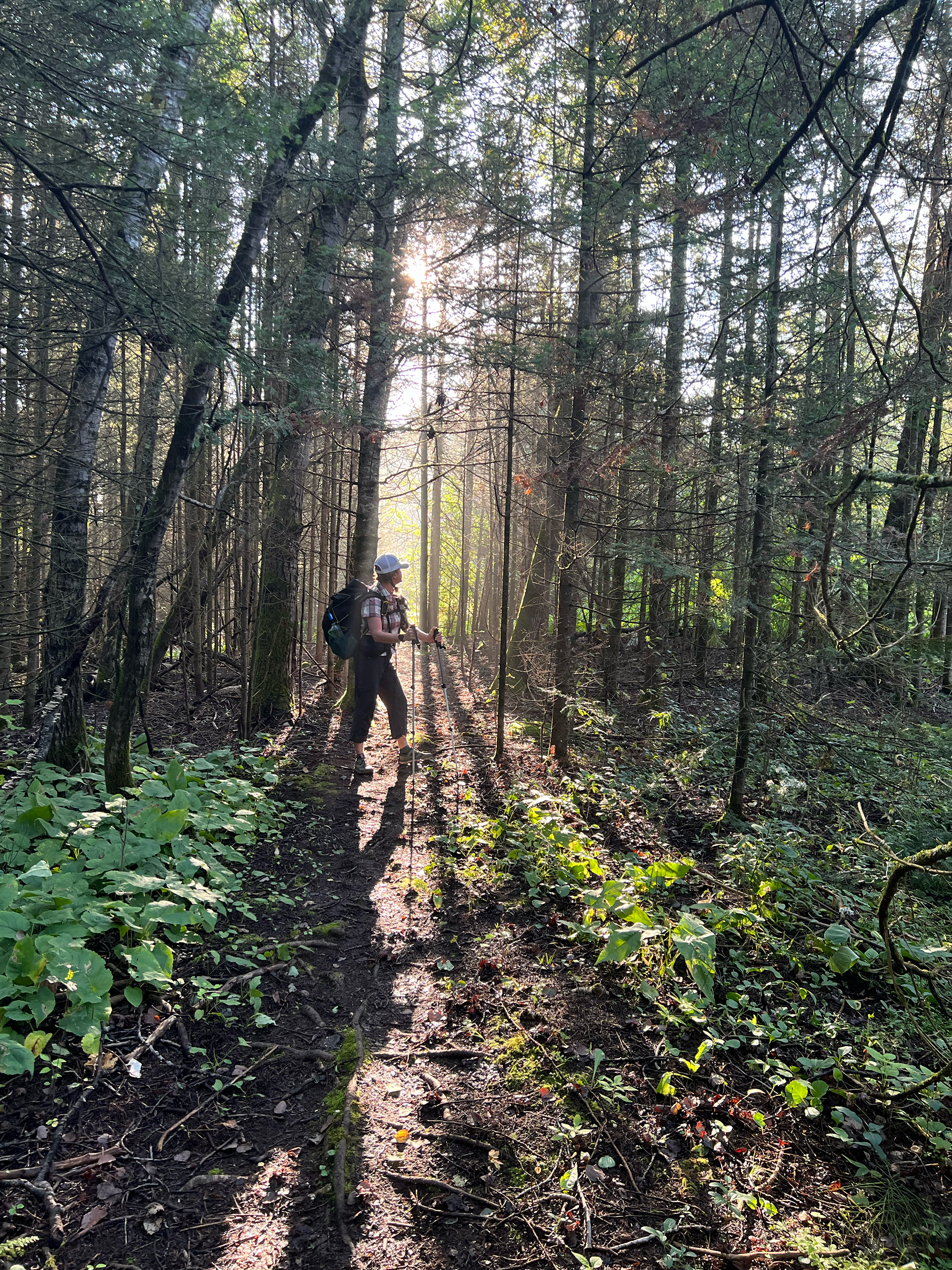
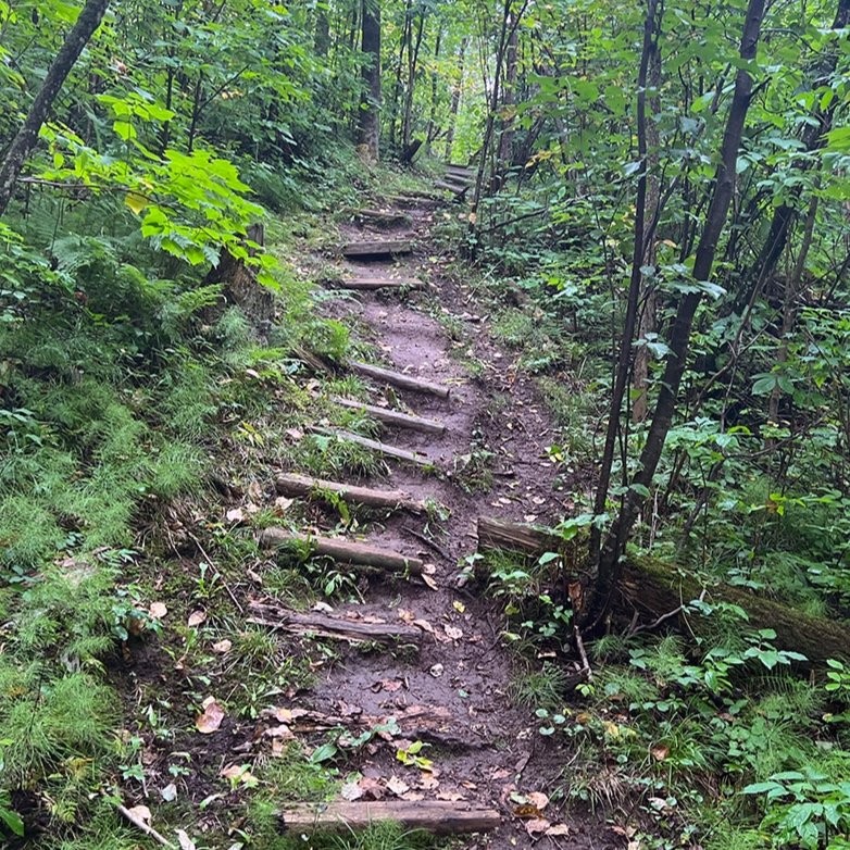
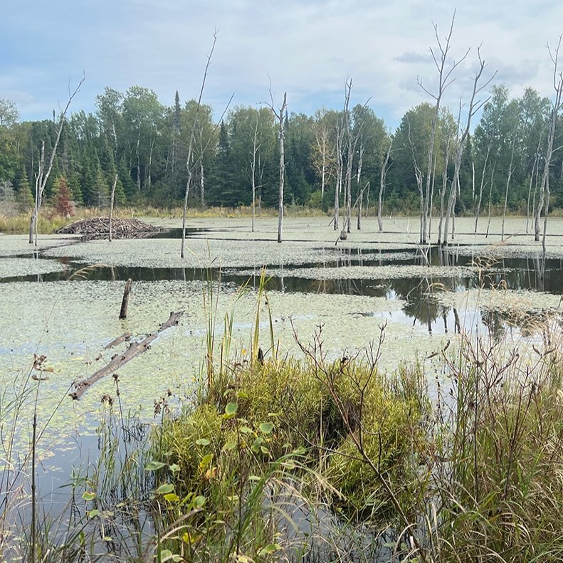
The Superior Hiking Trail is a 310-mile trail the mostly parallels Lake Superior along the northeastern border of the state. The largest freshwater lake in the world its character more like an ocean. The trail is rugged, full of roots and rocks and fairly remote in some sections. It’s known for being technical, scrappy with many ups and downs. It can be surprising to those visiting from out of state as a portion of the trail is part of the Sawtooth Mountains, a dramatic geographic feature with jagged edges along the shore. The northern terminus is a stones throw from Canada ending near two major wilderness areas along the border. Moose, black bear, lynx and Timber wolves roam the woods.
We figured it would take roughly three weeks to complete with a few additional days set aside as a buffer in case it took longer. That meant we’d need to average 15 miles a day and allow enough time for 6 different resupplies (picking up more food, etc). While I’ve done other long hikes, this would be my longest hike to date. For my hiking partner, Mudflap, it was a big leap as her longest hike had been 4 days.
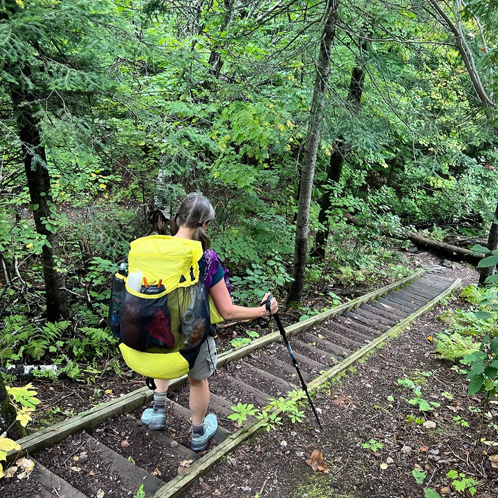
Standing at the southern terminus I felt happy.. There were some nerves, but anticipation and excitement filled the air. Knowing there where many miles ahead, I decided I would just take it one day at a time and not fixate too much on the coming days. I’d try to stay present and engaged in my surroundings and if I could do that, my feeling was that it would feel less daunting.
Getting used to the trail.
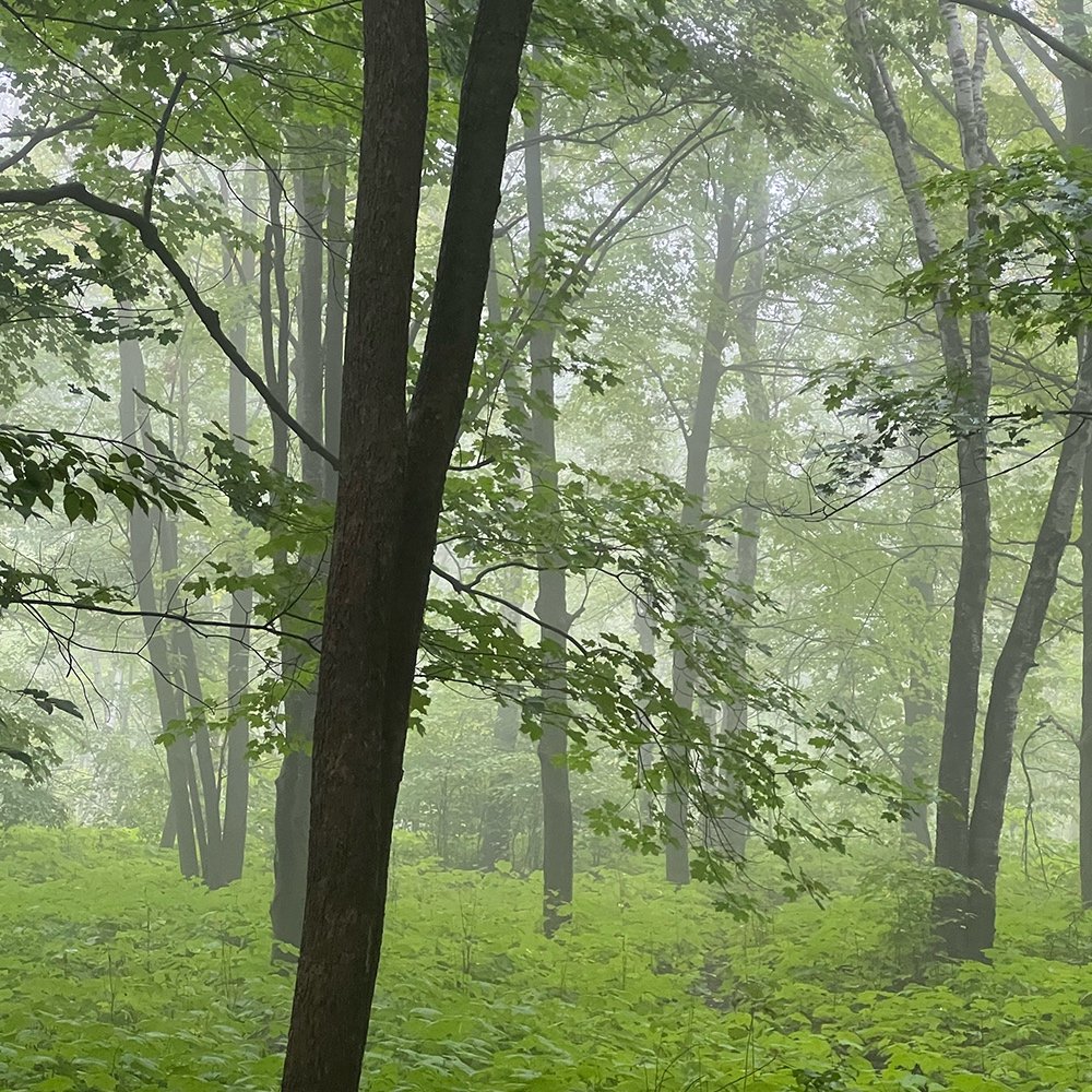
The first days were spent enjoying relatively easy tread and terrain while dialing in my routine. Once in camp, usually set up my shelter first. Then I would grab my base layers (double as pj’s) , my tiny bottle of Dr. Bronner’s and go bathe (bio soap is rinsed always rinsed away from the water). I was refreshing and invigorating. Plus it feels good on sore muscles. After, I grabbed my stove and got dinner cooking, while also finishing a few camp chores. My routine changes over the course of the adventure little unless there is rain.
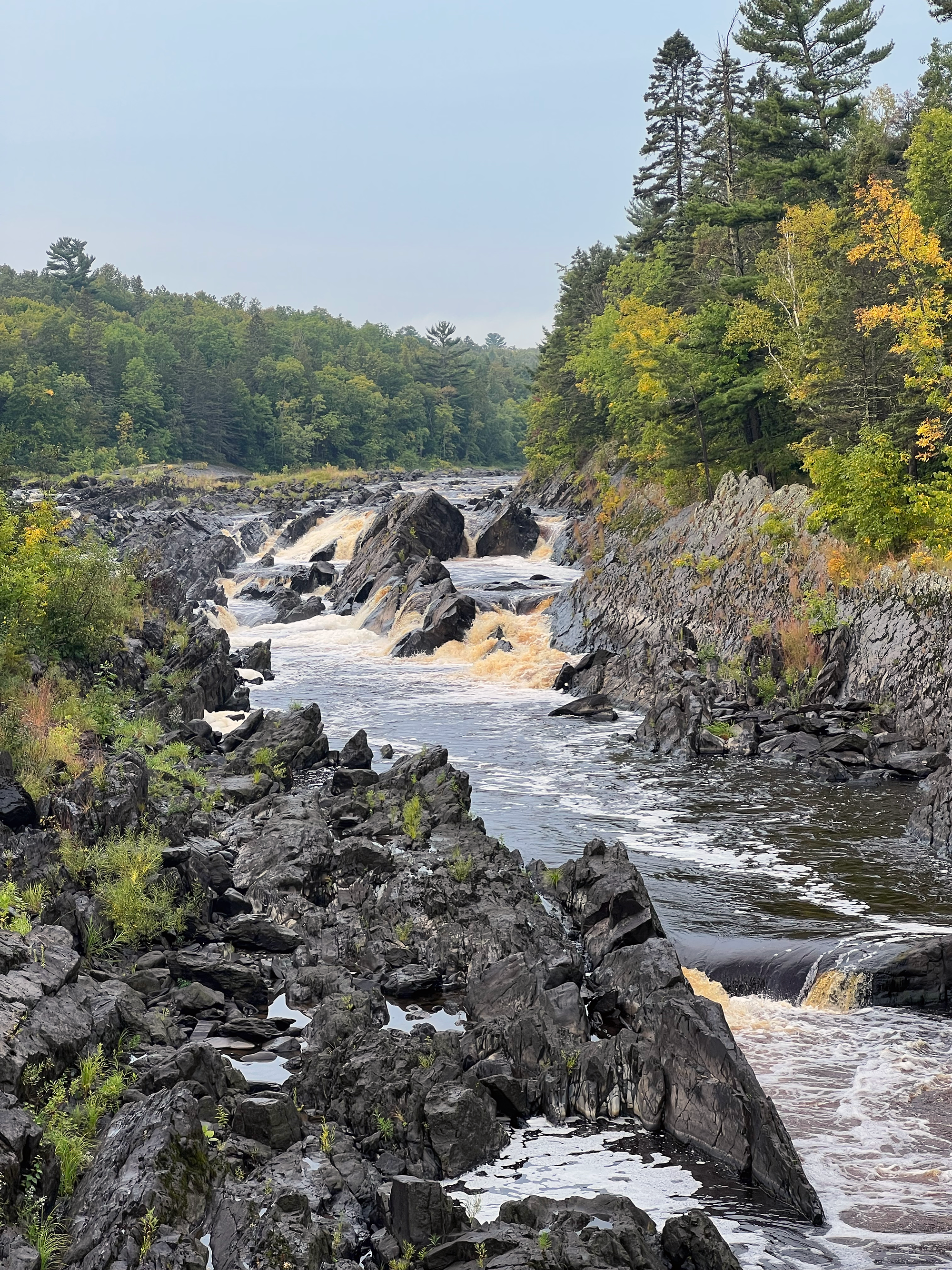
Our first camp was perched above the St. Louis River in a cluster of pines while the rapids and breeze provided a beautiful backdrop to fall asleep to. First nights are memorable and I slept, looking forward to the days ahead. A small thunderstorm came through in the early hours, along with the clicks of a nearby train. We had a full day ahead, nearly 16 miles to Fond du Lac campground. For the first we hiked together, then I split off on my own, relishing in the silence and solitude, especially after a busy guiding season. The woods were very green but I could sense a change toward fall, especially with the waining daylight. I made good time and got to camp early afternoon.
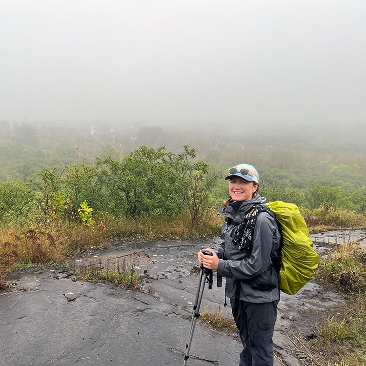
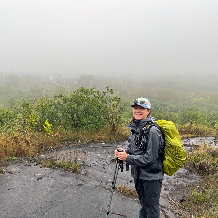
Over the next few days we continued north through the city of Duluth. We climbed over scrappy boulders up to the most dramatic feature of the area, Ely’s peak. I’ve been there before however this time, the dramatic views to the lake were cloaked in fog. Wind pushing us around, we moved along, as the rain came down and the temps were cool due to the exposure along the bald rock.
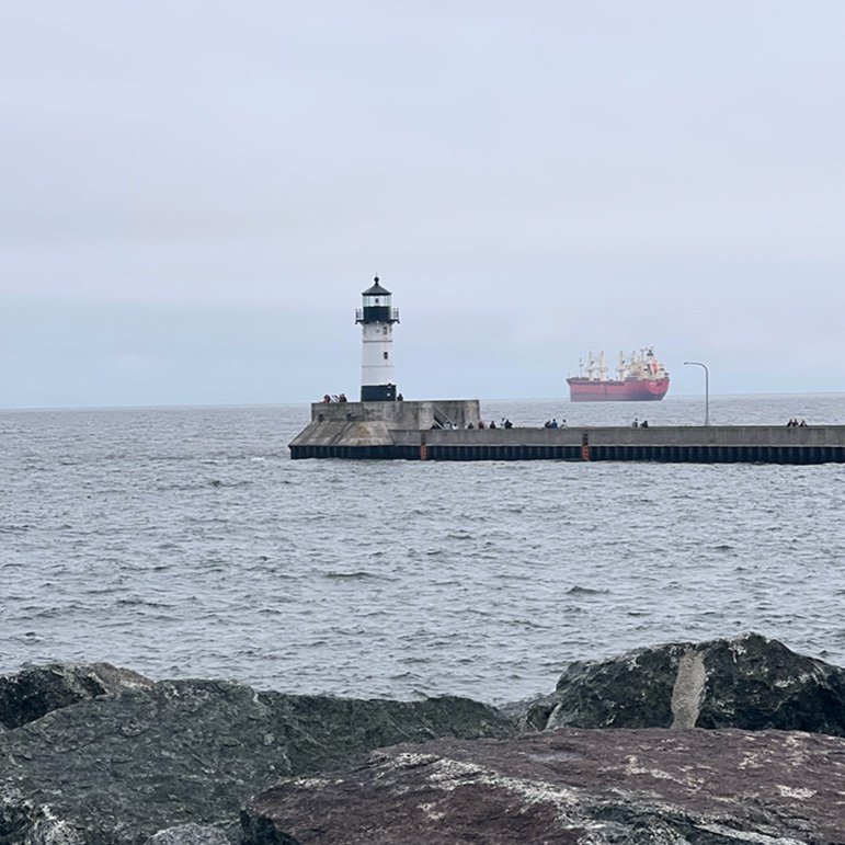
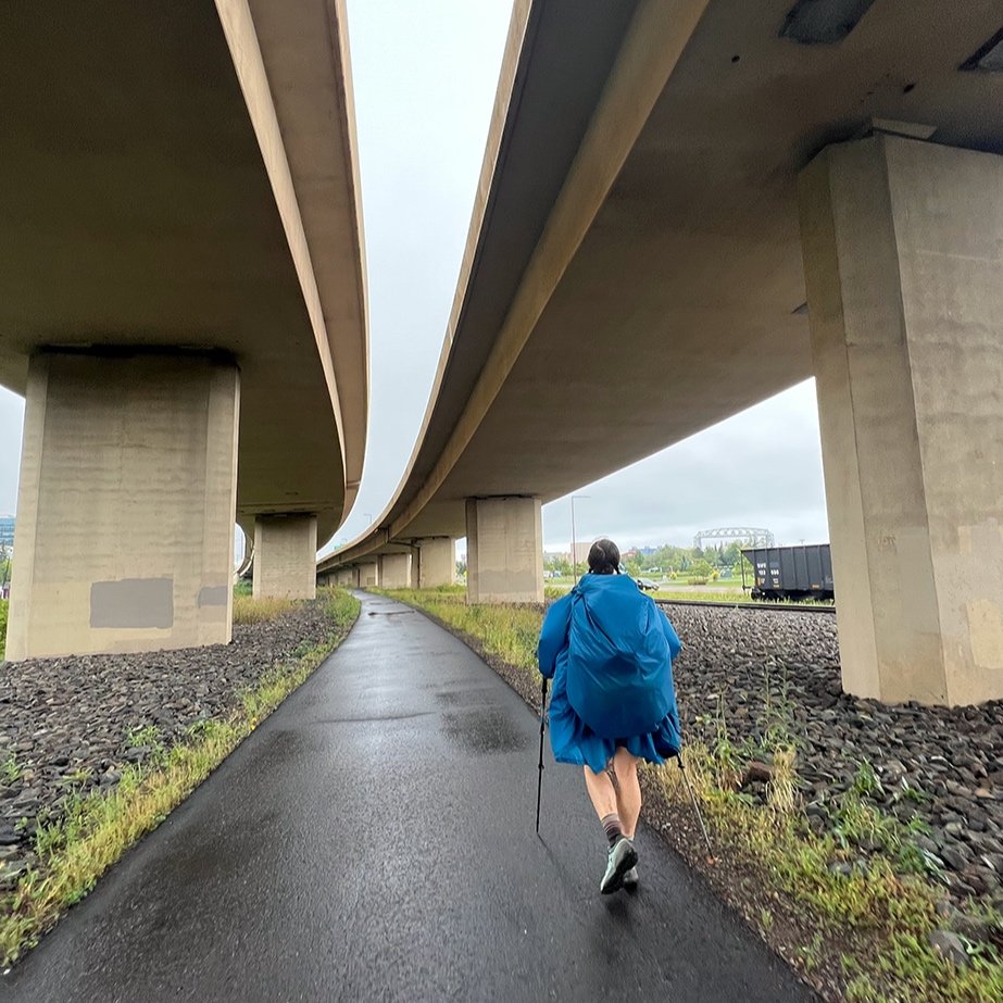
Many hikers skip the Duluth area due to camping logistics, but we found that easy to figure out, enjoying the incredible amount of green space the city has created. I pictured us hiking endless miles of sidewalk in unremarkable neighborhoods. But there are so many parks we really only experienced a chunk of the urban life for a part of a day down in Canal Park as well as a few other small pockets. Dramatic views overlook the city and we expressed awe as giant cargo ships peeked through heavy fog. It was incredible to follow dramatic, mile-long cascades then minutes later, pop out of the trees and cross a busy street only to be quickly enveloped into the woods again.
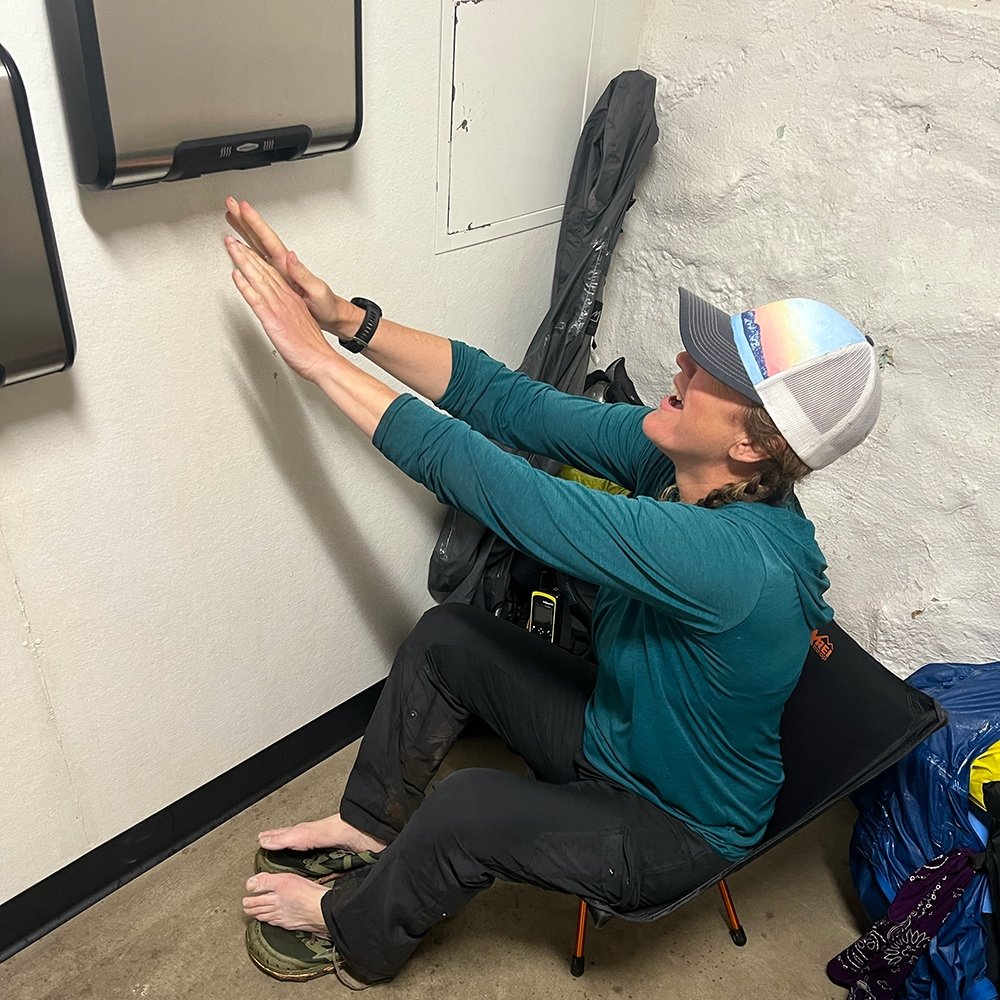
By day four I was feeling waterlogged and tired. In order to camp in the city, we’d done some higher mile days - especially for the start of a hike. My body was still getting used to the rigors of being on my feet and carrying a pack day in and out. We hit Enger Park and because of the rain, briefly camped out in the quiet restroom, warming and drying our bodies and clothing under the hand driers. A simple gesture that felt restorative. We still had four miles left to drop significantly down to Canal Park and Lake Superior. By the time we hit Canal Park, my energy lagged. So I grabbed a snack and some electrolytes which I hoped would perk me up.

North of Duluth.
My hiking partner, Mudflap had a cousin in Duluth who offered to put us up for the night. We considered pushing onto Bagely Nature Center to camp, but the draw of a dry warm place and forecast for thunderstorms made it clear. They were generous hosts and put us up in a cottage adjacent to their home. We were fed heavy helpings of lasagna and afterwards retreated to rest and wash our clothes. I slept 10 hours and felt so refreshed! We filled out packs with more food and sundries and tossed them into the back of the pickup. The following morning, the cousins drove us to a store so that we could pick up a few sundries as we headed north. In our minds, Duluth had been the “shakeout” were we’d have access to everything before we hit the Even though we didn’t begin the two mile climb out of Duluth until 11:30, we still made 13 miles.
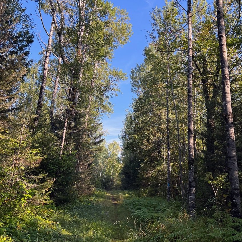
We passed Martin Trailhead, another start/end for many hikers who skip the Duluth section. North of there, it felt like things began to get wilder and we really felt like we had made some headway. The trail round gently over snowmobile trails and while we’d heard it can be muddy, it wasn’t really bad. That evening we stayed at a campsite filled with black spruce. No other campers were there when we arrived. Most of the tent spots looked pretty good and were blanketed in pine duff. I bathed in an icy stream - man it was cold, but it felt good to be relatively clean. Two young women came in a little later and camped with us, Flawless and Gear Salad were from Arkansas.. They were in the middle of finishing a long section of the trail and it was fun to finally share a campsite with other hikers. We compared notes, as they had come from the north where we’d head the next day and it sounded like the trail would be pretty easy, minus a few muddy spots. We were serenaded to Barred Owls as we fell asleep. Ah, now it’s feeling like the north.
Completing the first week.
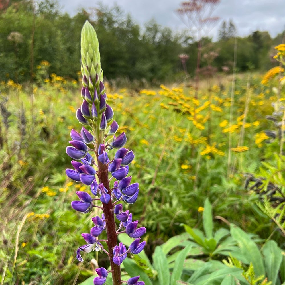
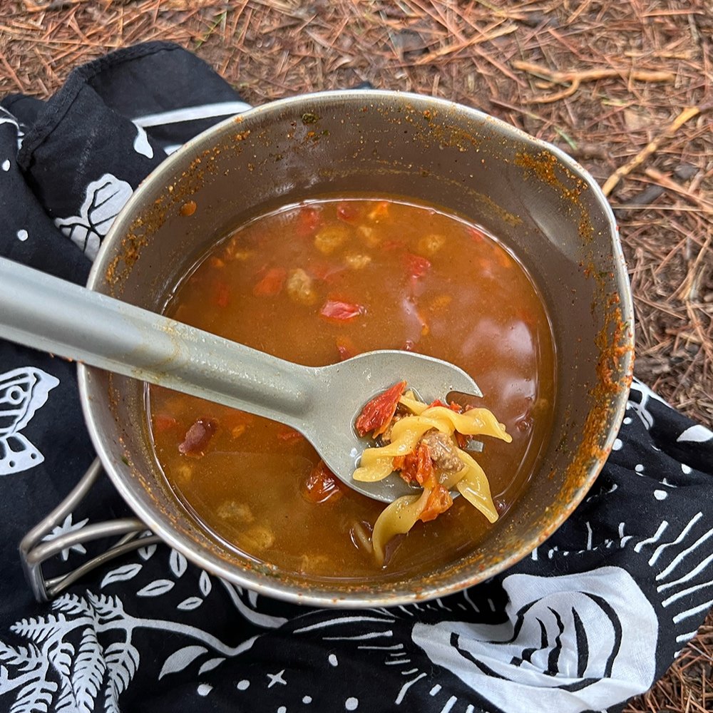
Twenty-three miles later we pulled into camp. This would be our longest day on the trail as the section was pretty easy and the tread a combination of packed dirt and debris. Cruisey! It was hilly, but not very technical or difficult. While not particularly scenic as the trail serpentines through the woods and pockets of former logged sections and snowmobile trails, it was enjoyable. Foliage was beginning to turn and we saw peaks of yellow and orange. The day was warm, nearly 80º and we were grateful for any shade. The SHT is known as the “green tunnel” which is partially why we chose a fall trip. We wanted to see the hillsides bathed in red, orange and gold.. We cruised along, making 3 miles an hour. Stopping for an hour at the Sucker River we dipped our bodies in the cool stream, checked our feet and ate lunch. For me that was meant salmon in olive oil, mayo, a meat stick and maybe some chips or a handful of trail mix.
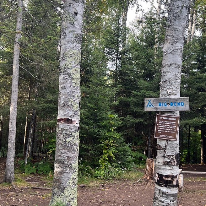
Later that evening, we pulled into Big Bend campsite, passing another couple that we’d been behind for the past few days. We’d seen their names in the trail registers along the way. Texas and Stumbles are hiker hostel owners along the Appalachian Trail and they were on the SHT for the first time. They had also started at the southern terminus a few days before us and were doing shorter days, taking more time headed north. It was fun to meet them in person and camp together. Plenty of trail talk ensued. Later in the evening, Stoves, a southbound (SOBO) hiker camp into camp, days away from finishing his hike at Martin Road. Hard to believe we’re a week into this adventure and have nearly completed 100 miles!
Next up is “The Middle” . Also, check out our resources for this section to help you plan below!

Explore the trail.
Interesed in learning more? Join us for one of our online courses. We’ve got courses for beginner backpackers as well as those looking to complete their first thru-hike.
Check out our Google Map highlighting our journey, along with campsites we used as well as points of interest.. Map should not be used for navigation but will help in planning.
Interested in a section or thru hike of the SHT? The Superior Hiking Trail Association has provided great info for planning your next adventure.
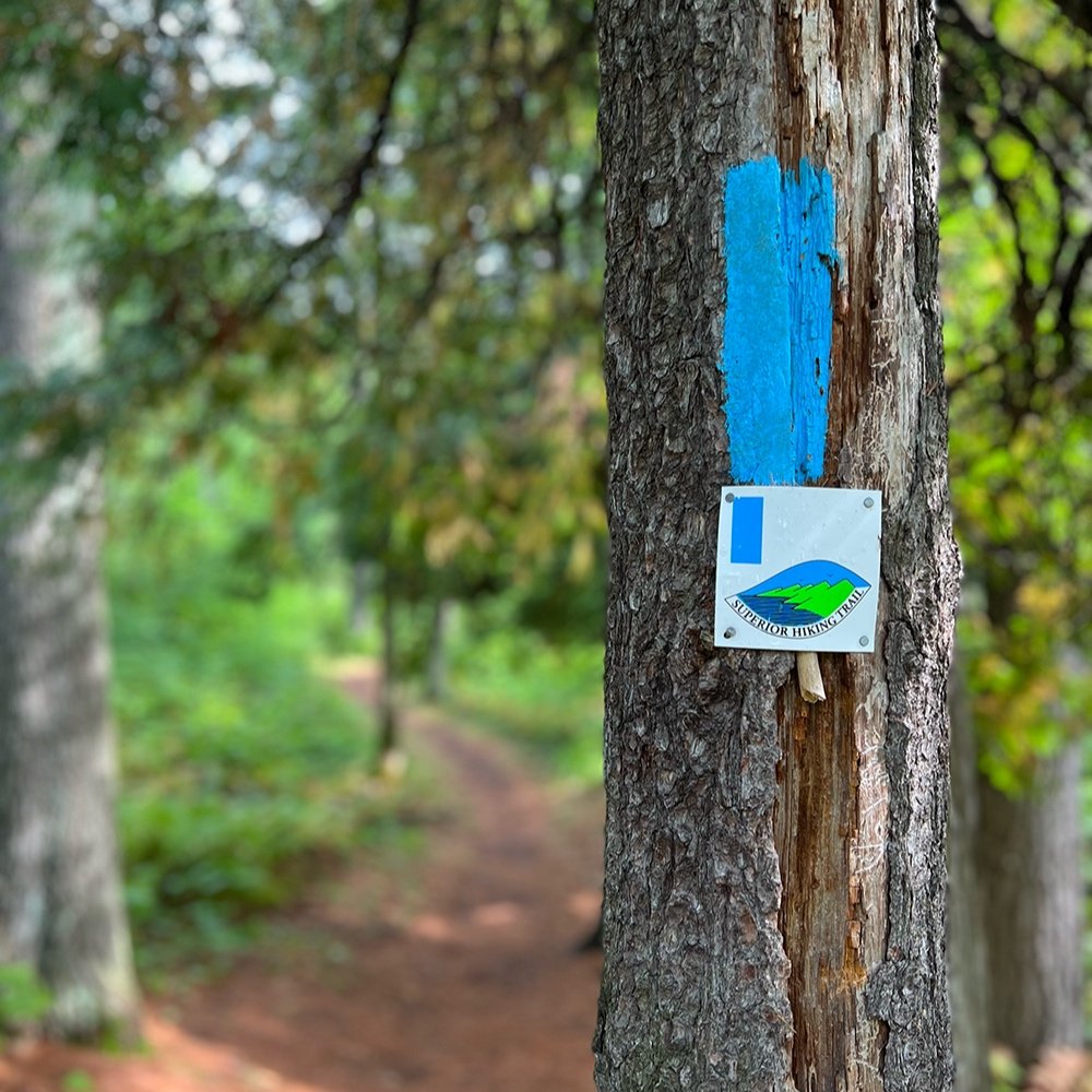
We primarily relied on Avenza maps for navigating the trail. You can download a set through the SHT Association or search for the set on the app. I also carried the SHT data book and referred to it almost daily to calculate distance between campsites as well as other points of interest, such as potential water sources.
Many hikers skip the section from the southern terminus to Martin Rd. Often because of camping logistics. Camping is easy if you’re willing to spend a little bit of time reserving your campsites a couple of months before your trip. All the campsites we used were a 1-2 mile hike from the main trail. Biggest drawback for us at the beginning was that it meant higher mileage days (13-15) in order to get to our reserved campsites.
Highlights! We found the section gorgeous with views overlooking Duluth and surrounding areas. Ely’s Peak, the St. Louis River as well as Canal Park were highlights. Plus there are numerous waterfalls and cascades which make great spots to stop and have a snack.
Campsite info for Jay Cooke State Park. We stayed at the High Landing campsite.
Campsite info for Fond Du Lac Campground. Amenities: showers, bathroom, water, firewood. Clean but nosier due to nearby busy road.
Campsite info for Indian Point Campground.
Campsite info for Bagley Nature Area Campground.
Pros of autumn hiking: Fall colors, no bugs, fewer hikers on trail (outside of the more touristy areas). Warm, temperate days make for comfortable hiking. Depending on the timing, it can be easier to reserve campsites as needed. Cons: Weather can very wildly and sleet or snow isn’t unusual later in the fall. Cooler temps and potential for rain which means there could be pretty muddy conditions in places.
Bonus! At the end of this series I’ll share my packing list. My backpack started out at 22 pounds with fuel, water and food. Heaviest weight was around 25 pounds.
Disclaimer: Some of the information provided might not be up to date or accurate. You’re responsible to do your own research and planning. Conditions can and will change due to the weather, trail damage and reroutes. The SHT goes through private and public properties. Please respect the rules so we all can continue to enjoy it. Check the SHT Association webpage for updates.