

Superior Hiking Trail Thru-hike | The End
Catching up? Check out The Beginning and The Middle of this three part series first. .
The rock, barely discernible and as dusty as the trail, launches me forward. It happens so quick I hardly realize it. My pack is pushed upward as I hit the ground with my hands, trying to stop my head from slamming as well. I take a minute to assess and not feeling any initial pain, begin to laugh at myself splayed out on the SHT, somewhere deep in the woods of northern Minnesota. This must look pretty funny.
My Superman act happens towards the end of an eighteen mile day. Nursing a sprained toe, I hobble into Judge C. Magney State Park a short while later. I search for the campground host. Seeing me walk towards his camper, he greets me gruffly, “you a thru-hiker?”. I reply that I am and was hoping to pay for a night at the reported hike-in site offered to folks like me.

Finish at the northern terminus near Canada. Pigeon River in the background creates the waterway boundary between the two countries.
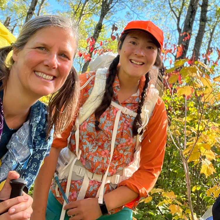
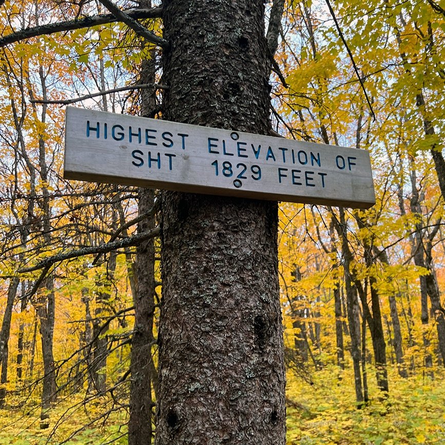
Over 200 miles down.
Five days prior I was sitting in a bathtub, scouring two weeks worth of dirt off my feet, relishing in the fact that I was an hour away from eating a burger at Papa Charlies, a restaurant in Lutsen resort. Clean laundry sat on the bed. The hot meal was merely steps away from our room that we’d paid for last minute. In the fall, they usually require a two-night minimum, but I think our earnest smiles (or smells?) warmed them over and they allowed us one night. Thank you!
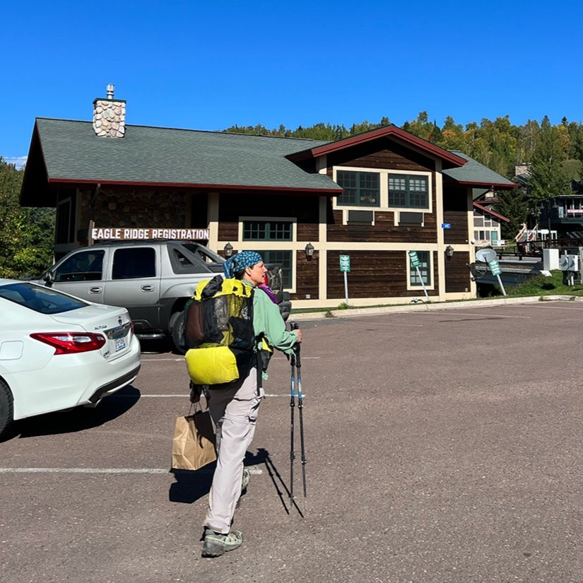
We were over two-hundred miles into our 300+ mile backpacking trip on the Superior Hiking Trail. The weather had started out cold that morning and we covered the seven miles from our campsite on the Onion River to Lutsen in a little over two hours. Knowing that we wouldn’t be able to do any more easy NEROS (not to many miles) until the end, I campaigned to stay overnight at Lutsen. Or, if nothing else maybe pay to get a shower somewhere.
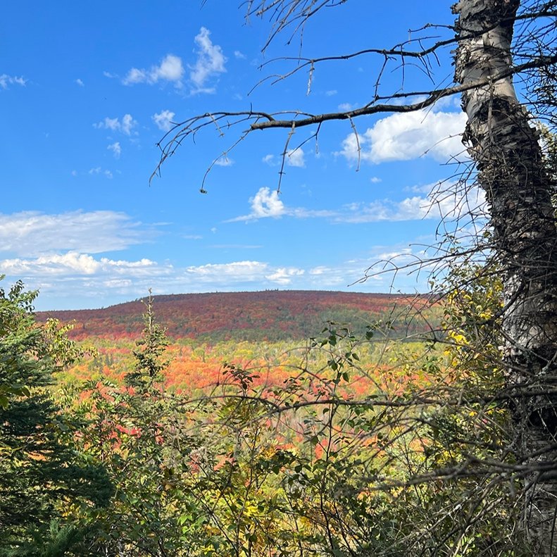
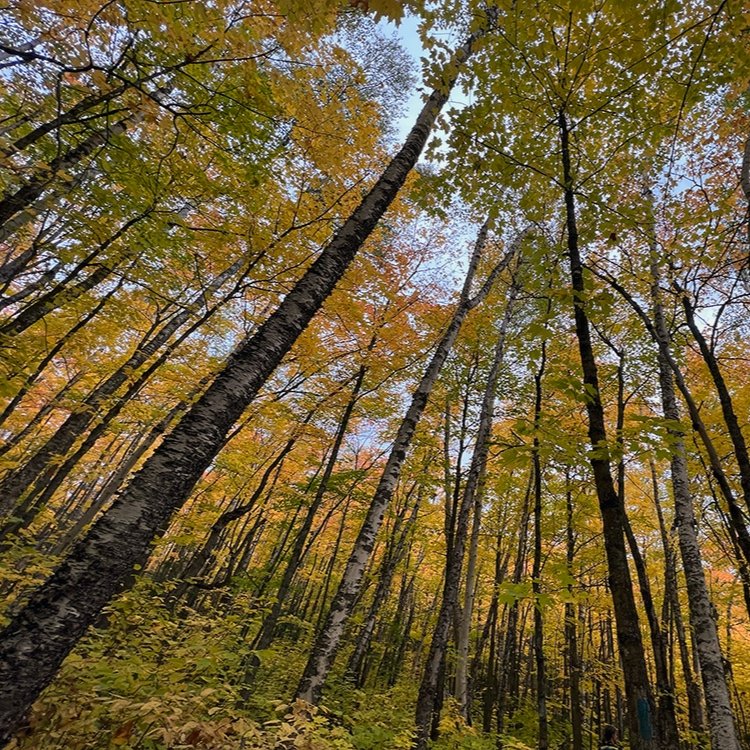
That day we’d walked through a tunnel of warm, but brilliant hues. We passed over both Mystery and Moose mountains with relative ease. I’m definitely feeling stronger and I pick an easy, but quick pace. I hardly notice my pack these days.
We leave Lutsen the following morning to a truly, crips fall day. The trail climbed for a while, helping me warm up quick in short sleeves. Having resupplied in Lutsen, we only had to carry two days worth of food on us before reaching the town of Grand Marais. In case of a delay, we always carried a modest amount of extra food on us.
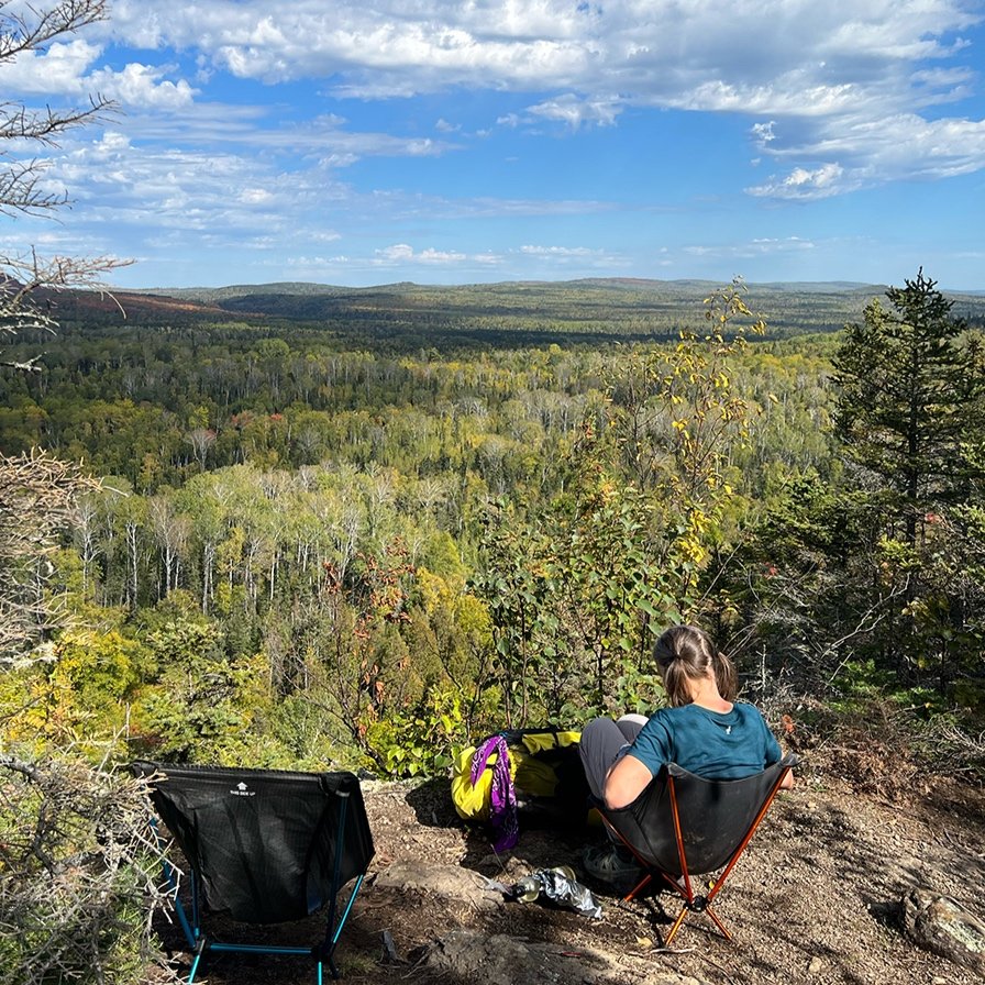
Following more ups and downs, we eventually followed a ridgeline that would drop us miles down into the Cascade River drainage. At lunchtime we took advantage of an amazing view to the north. Chairs pulled out, we rested, enjoying the scenery to the north. A curtain of rain cascades against a far western hill. Canada is roughly seventy-five miles distant. It’s beginning to feel like we will really do this.

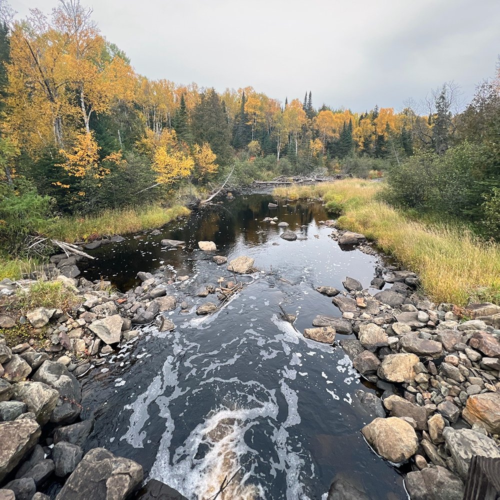
Poplar River near Lutsen.
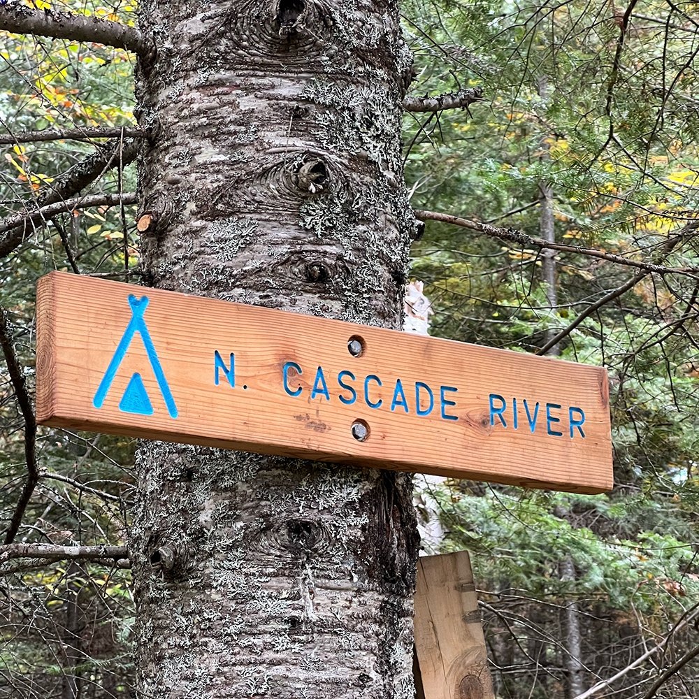
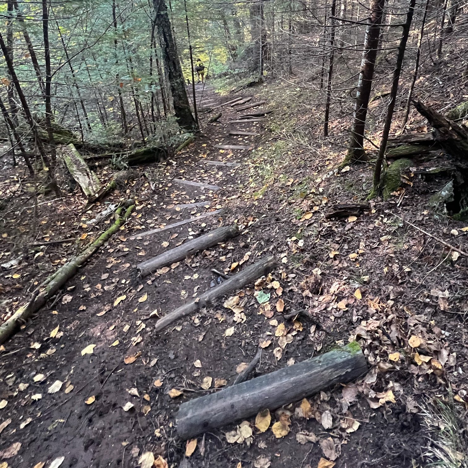
Cascade River is gorgeous and familiar to me as I’ve run and hiked some of the trails. The SHT was rerouted to the northeast side of the falls due to some bridge construction that is almost finished. It was tough. It rivaled Manitou gorge but not as steep and with many more technical challenges. It was scrappy, rooty and rocky. Staircases laid willy-nilly and shin-splintering rebar poked up in places ready to take out a foot or leg. There were continuous PUDS (pointless ups and downs) and it was nearing the end of a very long mileage day. So there was feeling of needing to move along, though I would have love to hang out at any number of the rock-strewn bars for a while, listening to the falls and shushes of water rushing to the big lake below.
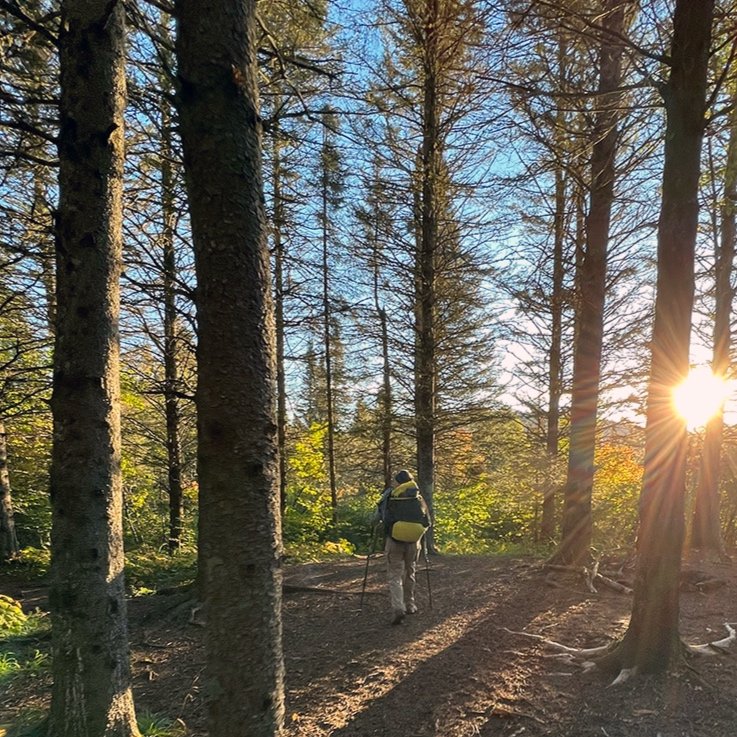
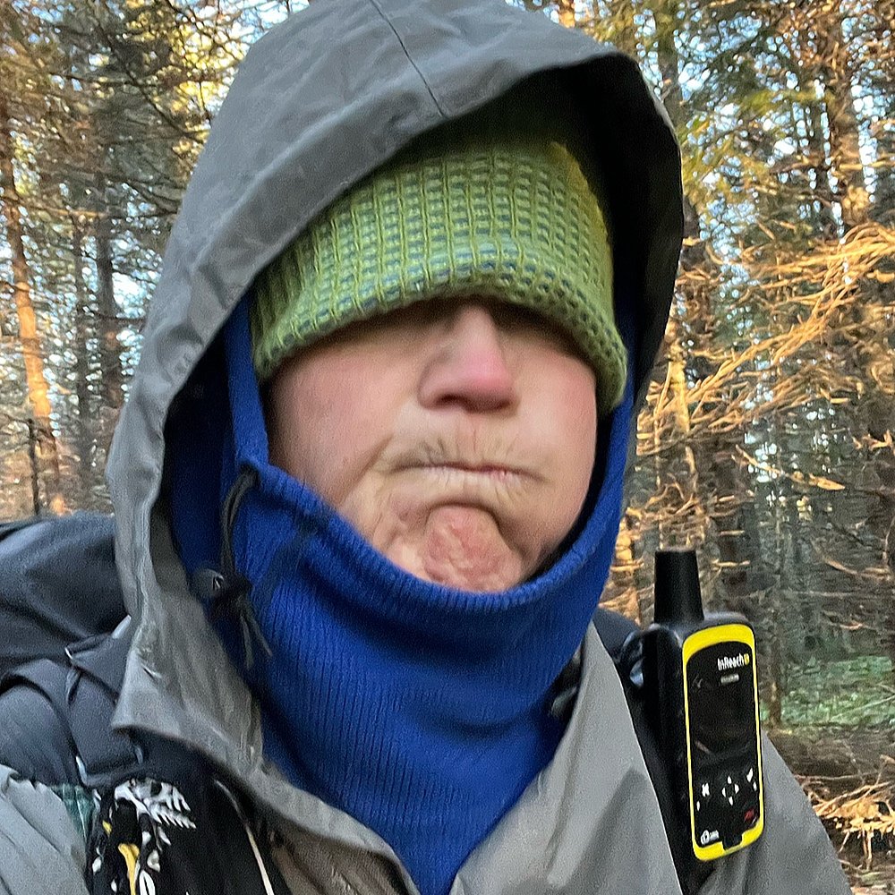
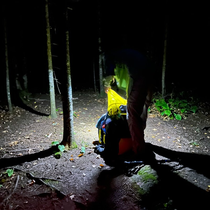
The following morning was lit by headlamp as we got up and left camp by 6:30am. Our hope was to hitch to and from the trailhead that crosses the busy Gunflint Trail. The quaint seaside town of Grand Marais and the promise of warm food was calling. Hitchhiking however is not very common on the SHT, so we didn’t rely on it. Moving along, the trail was pretty gentle and easy, covering more forest managed areas and snowmobile trails. And before the sun rose, I was singing, having spotted a few piles of fresh black bear scat in the middle of the trail. While I wouldn’t mind seeing one of the larger mammals who call these woods home, I’m sure we wouldn’t want to surprise each other.
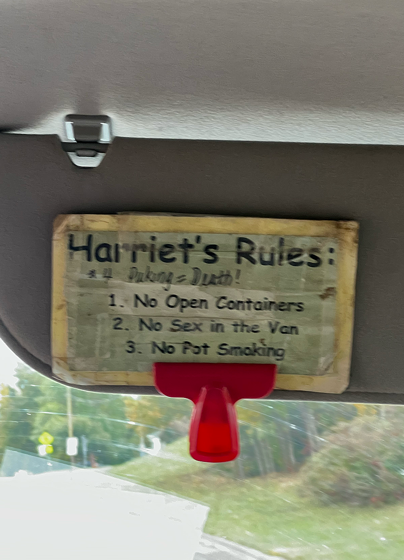
No sex in the van.
Almost thirteen miles later, my hiking partner, Mudflap’s husband calls to let us know that he’s found a trail angel in town willing to drive us to and from the trailhead near Pincushion Mountain. Awesome! We decide that since we’re making good time we’ll walk the Gunflint trail down to town and have the trail angel drive us back up that giant hill. Hikers usually try to avoid hiking additional off-trail miles wherever they can. We’re lazy like that, ha!
On the way downhill, a white van honks and I throw up a peace sign. A quick glance at the lettering on the side hits me that Harriet Quarles has just passed us headed north. She shuttles hikers all season long and her stories and personality are legend among the outdoorsy crowd. Minutes later she’s turned around and yells out, “get in, I’ll take you where you wan to go. I don’t charge hikers a fee when I choose to pick them up.” Even though were blocks from town, we obey, thrilled to have run into her yet again and catch up, if only briefly. Like the responsible hikers that we are, we obey her van rules as posted up on the dashboard. Puking equals death. No open containers. No sex in the van. No pot smoking. She lights up a cigarette and wishes us well as she drops us off at the grocery store where we’ll pick up food and resupply for the last stretch of trail.
You should never shop when you’re hungry but it works better to get it out of the way first with our list of to-do’s. Thirteen miles and a handful of snacks have brought on my hiker hunger. Getting through the grocery store as quickly as we can, I’m disappointed with the offerings. But it’s almost the end and calories are calories, abet not necessarily nutritious.
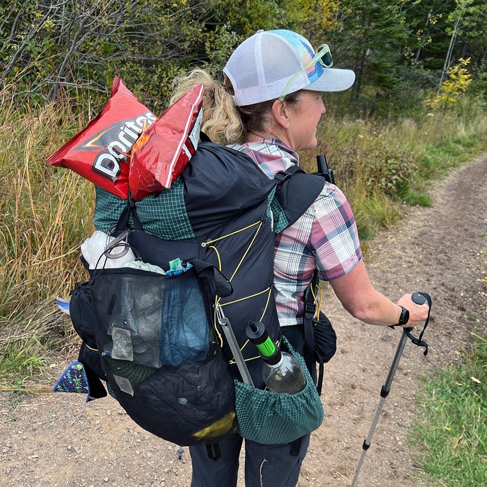
We make a beeline to Hungry Hippy Taco’s. Tucking our packs and grocery bags into a corner we dig into frybread “shells” filled with smoked pulled pork, a pile of veggies and queso. Adobo sauce drips down my hands. Delightful, restorative! Knowing we have a few hours left before we need to hike the last couple of miles to the next campsite, we walk down the street to Java Moose, resting and catching up with home while drinking copious amounts of hot beverages. We run into one SOBO hiker, Mike who I share my extra groceries with. He gives Mudflap extra packets of coffee. I bought a little too much as evidenced by a Dorito’s bag strapped to the top of my pack.
Trail angel, Andrea meets us at the gas station. We warn her to bring some towels as we’re dirty, but she doesn’t seem to care, curious about our adventure. Thanking her for her time and kindness, we reluctantly say goodbye and promise to update her when we’ve finished. Cruising the trail we run in to numerous day-hikers. One couple, noticing we’re hikers, are interested in our journey and asks us if they can tag along for about a mile, asking questions while promising to keep up with us. We smile, happy to share in the experience and slow down for them.
Our campsite that night is in another red-rock gorge, and my voice echos off the walls as I quickly bathe in the cold stream. Scrubby pine and cedar cling to the rough cliff sides. How the trees grow along the edges and faces, I have no idea. We have the site to ourselves and it’s surprising how little we’ve shared our camps with others. Complementing a mixed salad that I hauled in from town, I munch on a handful of Dorito’s, reflecting on the fact that we’re now beyond the most northern town along the trail. According to reports, the final section is more wild, so we’ll see.

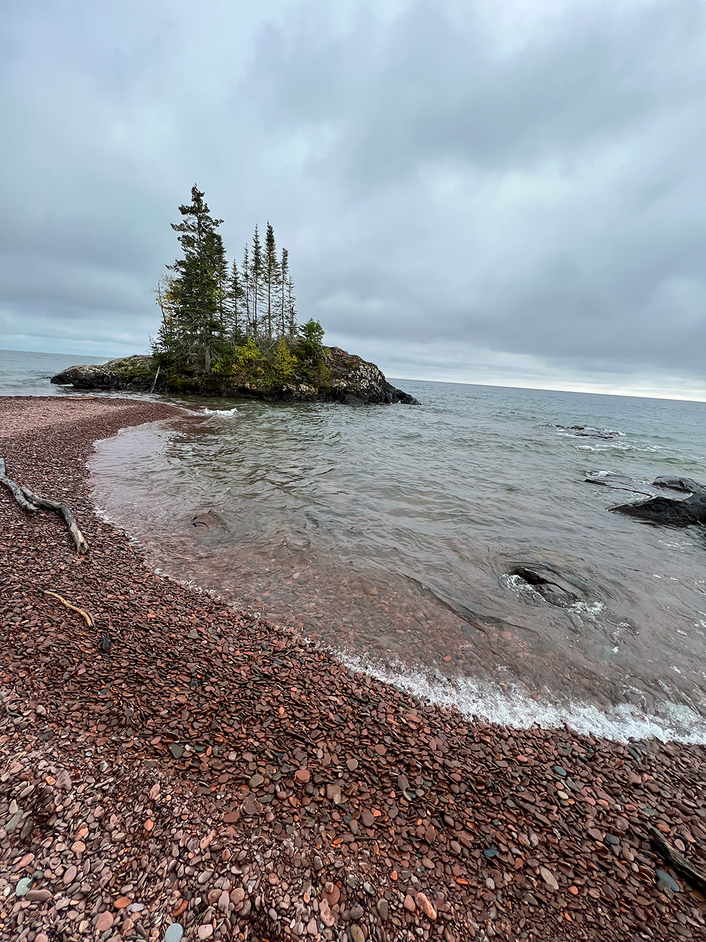
One of the many views of Lake Superior.
The hardest mile and a half.
My feet slide as I try to gain purchase on the rock-strewn beach. This is one of two sections of trail that goes right along Lake Superior. Though this time, it’s not paved. Its very slow going as I shift among smooth, round rocks made of basalt and rhyolite. A ledge of low rock formations dotted with orange and mint colored lichen appear and eventually, the trail heads back inland near a small island blanketed with spruce. Beautiful to be along the shore, but not my favorite miles.
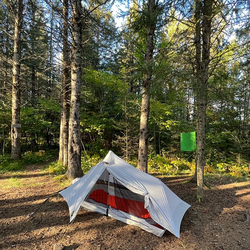
Because we’ve trended downhill for miles, we now must make up the elevation we lost. Thankfully it’s gradual and at the end of the day we find ourselves at Judge C. Magney State Park. Their hike-in site is perfect for us and we share it with Kristen, a southbounder and her dog Radar. I indulge in a hot shower and rinse a few clothes. Tom, the camp host turns out to be kind and checks on us now and then. He willingly takes some of our extra food and gear to store as we’re planning to push to the border and would love to do it a bit lighter.. We bid him farewell and tell him we’ll see him in a few days to pick up the leftovers. Hard to believe we’re nearly done.
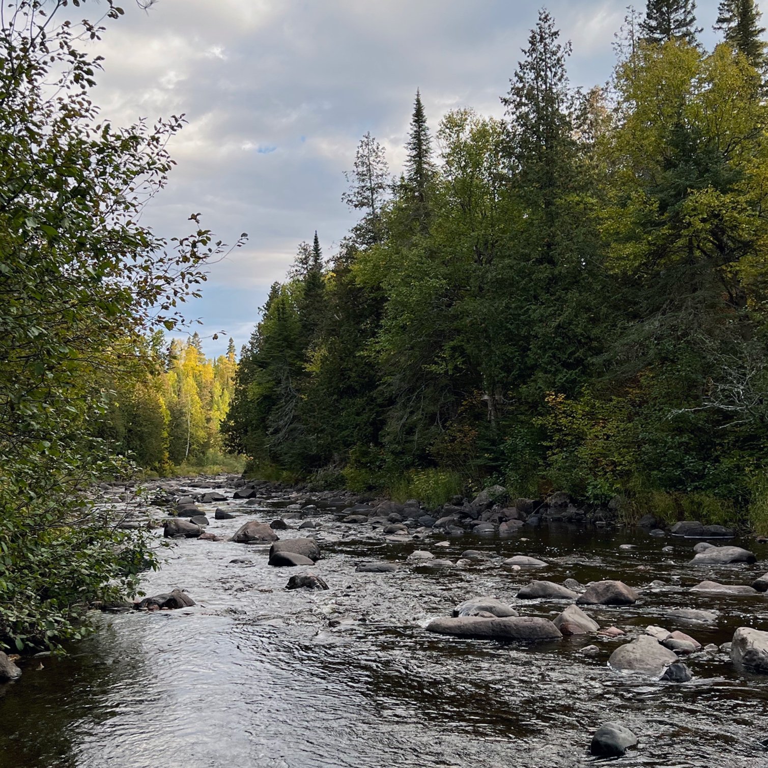
The climb out of the Brule River gorge was tough for me. The whole day felt off and I never felt like I got into my grove. There are reports that NOBO’s have more up’s than SOBO’s, but I have no idea on that statistic. All I know is that I’m pretty sure it all happened here as the trail trended uphill most of the day. All seventeen miles of it. We pushed along the ridge past North Carlson pond, admiring the now mostly-golden aspen and birch blanketing the landscape to the southeast. We were well inland of Lake Superior and some of these views would be the last we’d see of the great lake.
As I was cooking dinner that evening, watching the sunset over Caribou Pond, a young man came into camp. Dropping his pack with aplomb, he exclaimed, “Man, this trail is tough, what a hard day and I’m an ultra runner. This is my first backpacking trip and our first day, but you know, I think I’m getting my trail legs”. I commented, “yep, it’s not too easy” and smiled, continuing to stir my pot. Laying on the ground he announced to us that “two rangers were behind him”. I quizically asked him, “forest rangers?”. He replied, “no, Eagle Scouts, guys that when to Philmount.”. Ok, I thought. That’s cool, I wasn’t aware that there were rangers in the scouts.
There were three of us currently squeezed in this pretty small campsite, but we figured we could take in more, if folks weren’t to picky. He ask me how many miles we’d done, and I replied, “well, we’re nearly done with 300”. We’ve been on the trail for nearly three weeks.” He blinked at me incredulously. I think he believed me, it was hard to say though and I guess I’ll never know. All the guys were friendly but kept mostly to themselves having come in late, trying to cook and eat while figuring out a place to set up their tents in the approaching darkness. Our friend spent, what looked like to be a restless night on the ground. By morning, his poorly set tarp was in a crumpled heap over him, sleeping pad thrusted mostly downhill. I was pretty sure he wasn’t on it. But I bet he’ll have some good stories after the adventure, because, heck, we’re all beginners once.

Searching for moose with hazy views of Lake Superior.
End of the trail.
The final day was bittersweet. I longed to be done, free from the demands of hiking eight or more hours each day, and yet I longed to continue. That itch to see what’s around the next bend is strong. We followed another ridge, stopping to enjoy the sunshine as it bathed the landscape in gold. The season is marching onward and it does feel wilder. The trail isn’t as well maintained here and we’re far from the traffic noise along the shore. Just as I like it.
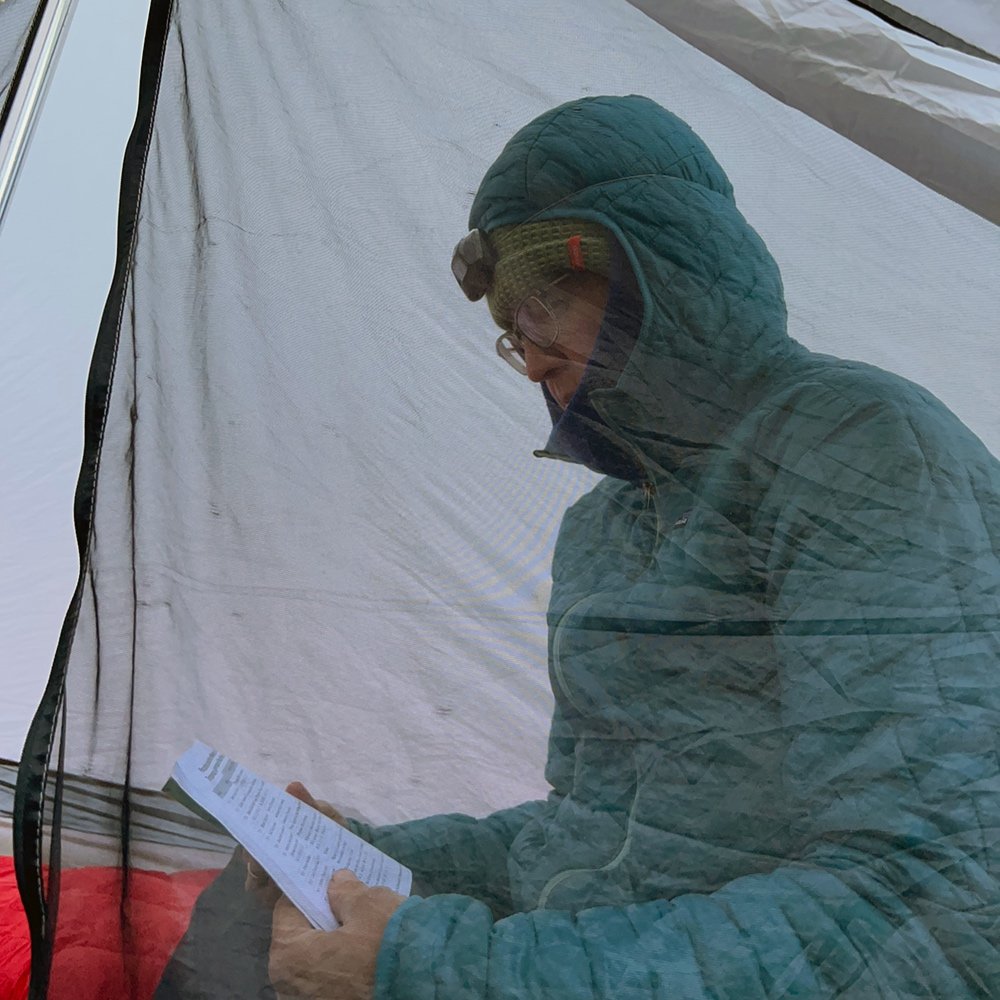
Mudflap’s knee is causing her a lot of grief but it’s the last day, so we tape it during a break and she take a dose of painkiller. The woodend sign says six miles to the terminus! Six miles. As I move along the easy tread, I take in my surroundings. The musky smell of a bog, soft gray clouds with peaks of lemony sun poking through and the moisture laden branches of white pine-my mind tries to capture it all. I pause at one of the last cold creeks, filling my bottle one more time, savoring water that has sustained me for weeks. I am content in the silence and aloneness.
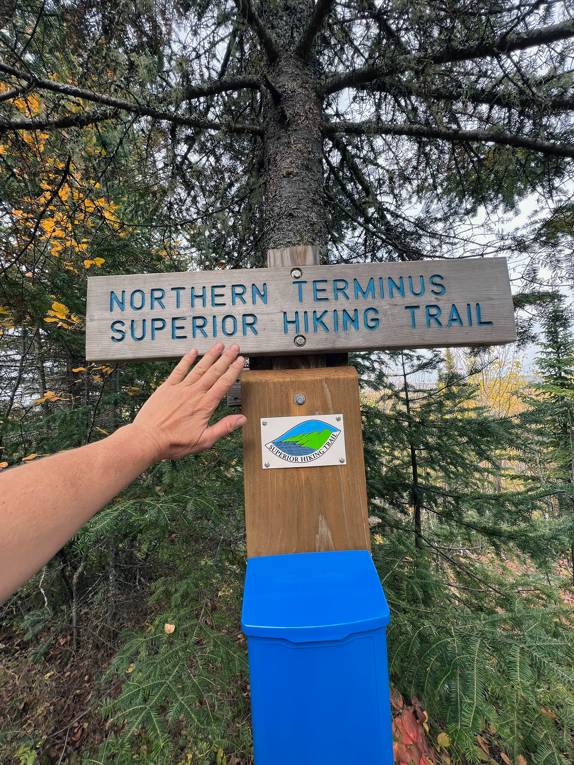
We climb the last gentle mile up to the 270º overlook. Standing on a cliff of bald granite, our eyes are drawn to Canada. As far as the eye can see forests of green erupt with large swaths of gold. Far below the Pigeon River flows, the quiet boundary straddling two countries. Northwards, Quetico Provincial Park a million acre wilderness connected by waterways, sits lonely, mostly quiet. Without any signs or identifiable features, it all looks like one. We spend time resting and reflecting before we get up and head back south a mile to be picked up. We can’t see Lake Superior anymore, but we can identify the ridge line we crossed the day before and know she’s just beyond. She has been an ever constant presence for the past twenty-one days. It has been a gift to follow and observe the largest freshwater lake in the world.
It is the end of the trail, but not the end of the wildness that has stirred within me. We sign the register and bid adieu. I am a woman of the north, and it has captured my heart.
End of the trail.
Explore the trail.
Interesed in learning more? Join us for one of our online courses. We’ve got courses for beginner backpackers as well as those looking to complete their first SHT thru-hike.
Check out our Google Map highlighting our journey, along with campsites we used as well as points of interest.. Map should not be used for navigation but will help in planning.
Interested in a section or thru hike of the SHT? The Superior Hiking Trail Association has provided great info for planning your next adventure.
We primarily relied on Avenza maps for navigating the trail. You can download a set through the SHT Association or search for the set on the app. I also carried the SHT data book and referred to it almost daily to calculate distance between campsites as well as other points of interest, such as potential water sources.
Highlights! We experienced many incredible overlooks, gorges and falls, including Cascade River State Park, Poplar and Brule Rivers, Devil’s Kettle, Lake Superior shoreline and Caribou ridge line. Canadian wilderness of Quetico Provincial Park!
Judge C. Magney State Park has a fee based hike in site for Superior Hiking Trail hikers. Bathrooms with water, showers and toilets nearby.
Northern section past Devil Track River area is more remote, less maintained in places and rugged. We didn’t have any issues with route finding. Less frequent water sources between Brule River area and the northern terminus.
Pack for the conditions you may encounter. Autumn hiking risks include heat and cold related illnesses as well as hypothermia. The SHT is very technical in places, and rocks may be slippery, loose or wet. Parts of the trail are full of mud, down branches that may be wet and relentless roots. Sometimes the boardwalks are in poor condition and slippery. Temperatures in Sep/Oct can range from 30ºF-80ºF. Rain, snow or sleet is not uncommon.
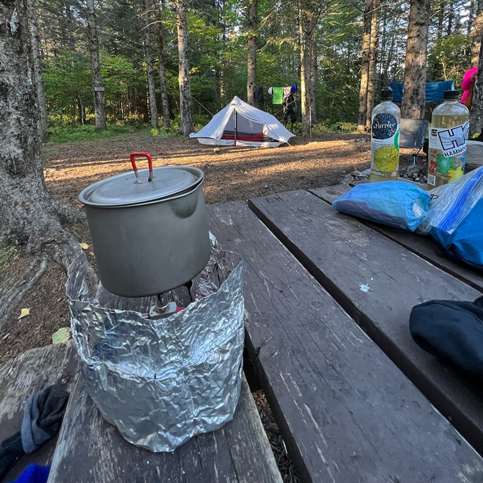
My pack started at 22 pounds with food, fuel and water. The heaviest weight totaled 26 pounds with food, fuel and water (5 days worth of food). Stove was only used at dinnertime.
To keep our packs lighter we had 6 resupplies along the trail. My hiking partner dropped off a few resupplies at key locations two weeks prior to our hike. Two of our other resupplies were in towns at grocery stores. One resupply was left in a car we’d driven up in.
There are 94 campsites along the SHT. All campsites must be shared and do not require a permit or reservation. Most are near a water source. Additionally, there are state park and privately owned campgrounds throughout the trail system that are reservable.
Large mammals such as moose, black bear, wolves, lynx and deer call northern MN home. We only saw a few deer.
Pros of autumn hiking: Fall colors, no bugs, fewer hikers on trail (outside of the more touristy areas). Warm, temperate days make for comfortable hiking. Depending on the timing, it can be easier to reserve campsites as needed. Cons: Weather can very wildly and sleet or snow isn’t unusual later in the fall. Cooler temps and potential for rain which means there could be pretty muddy conditions in places.
Northern Minnesota is the ancestral homeland of the Anishinaabe people.
Bonus! My packing list was designed for a fall hike in northern Minnesota. Feel free to reach out with questions!
ONLINE CLASSES! Classes for backpackers are now being offered by us! Join our course specifically on planning a SHT hike.
Check out all the info here and come join in the fun.
Disclaimer: Some of the information provided might not be up to date or accurate. You’re responsible to do your own research and planning. Conditions can and will change due to the weather, trail damage and reroutes. The SHT goes through private and public properties. Please respect the rules so we all can continue to enjoy it. Check the SHT Association webpage for updates.